


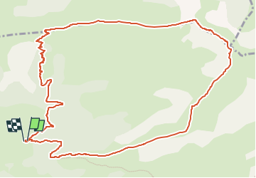

15,2 km | 28 km-effort

Utilisateur GUIDE


Application GPS de randonnée GRATUITE
 SityTrail
IGN / Instituts géographiques
SityTrail World
Le monde est à vous
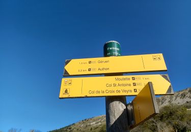
Randonnée A pied de 14,2 km à découvrir à Provence-Alpes-Côte d'Azur, Alpes-de-Haute-Provence, Authon. Cette randonnée est proposée par Marco05.
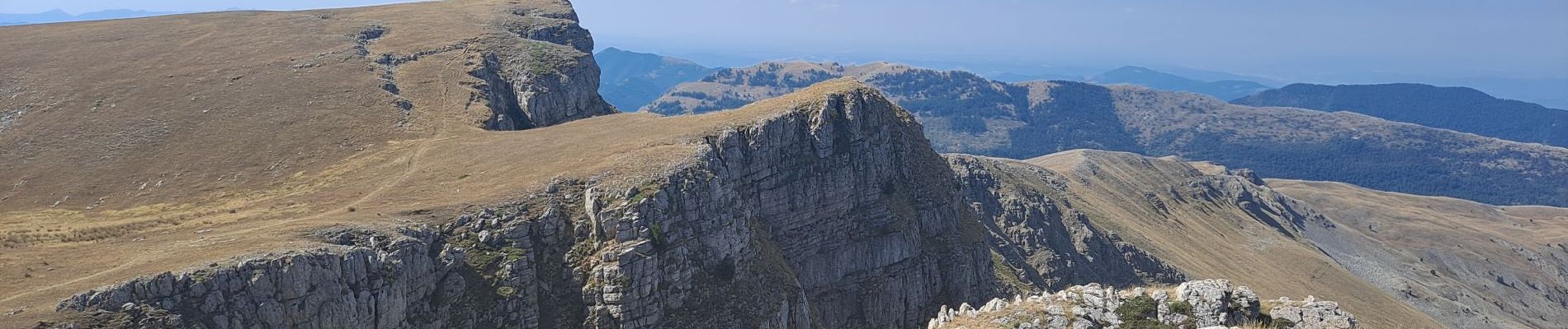
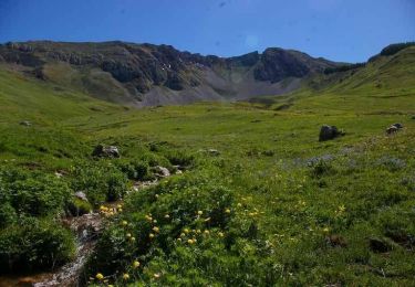
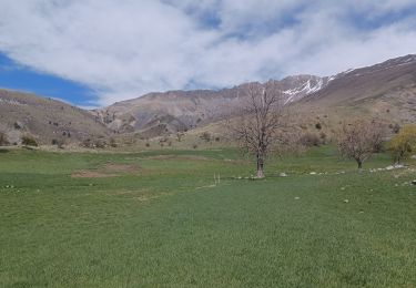
Belle randonnée sans difficultés techniques.
Attention, c'est assez long : 14 kilomètres avec plus de 900 mètres de dénivelé.


Marche
Marche

Marche

Marche
Marche
Marche
Marche
Marche
Marche