


11,5 km | 14,5 km-effort
Randonnées de la Grande Forêt de Saint-Hubert GUIDE+


Application GPS de randonnée GRATUITE
 SityTrail
IGN / Instituts géographiques
SityTrail World
Le monde est à vous
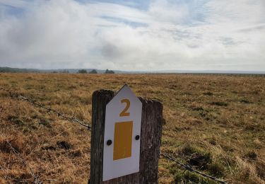
Randonnée Marche de 7 km à découvrir à Wallonie, Luxembourg, Daverdisse. Cette randonnée est proposée par La Grande Forêt de Saint-Hubert.
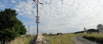
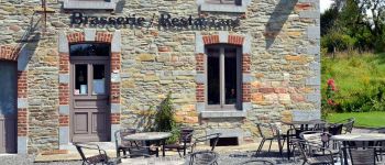
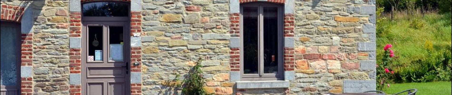
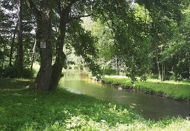
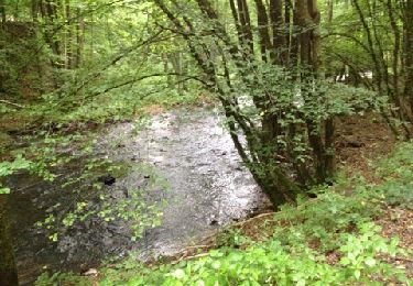
Promenade forestiere.
 - Photo 1")
 - Photo 2")

Marche

Marche
A pied

Marche

Marche

Marche
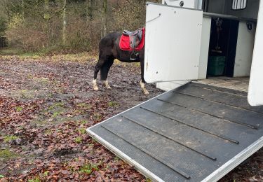
Randonnée équestre
Marche
Marche