


 - Photo 21")
 - Photo 22")
 - Photo 23")
 - Photo 24")
 - Photo 25")
 - Photo 26")
 - Photo 27")
 - Photo 28")
 - Photo 29")
 - Photo 30")
 - Photo 31")
 - Photo 32")
 - Photo 33")
 - Photo 34")

6,7 km | 8,5 km-effort

Utilisateur GUIDE


Application GPS de randonnée GRATUITE
 SityTrail
IGN / Instituts géographiques
SityTrail World
Le monde est à vous
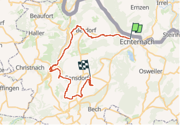
Randonnée Marche de 27 km à découvrir à Inconnu, Canton Echternach, Echternach. Cette randonnée est proposée par Peter.vdbergh.
Almost the complete Mullerthal Trail 2 from Echternach to Scheidgen, covering all the highlights of the route
 - Photo 1")
 - Photo 2")
 - Photo 3")
 - Photo 4")
 - Photo 5")
 - Photo 6")
 - Photo 7")
 - Photo 8")
 - Photo 9")
 - Photo 10")
 - Photo 11")
 - Photo 12")
 - Photo 13")
 - Photo 14")
 - Photo 15")
 - Photo 16")
 - Photo 17")
 - Photo 18")
 - Photo 19")
 - Photo 20")
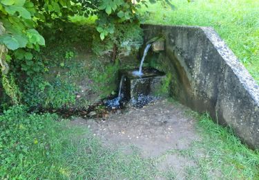
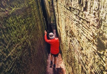
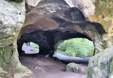
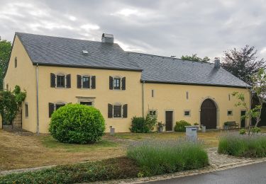
34 photos au total. Cliquez sur une photo pour les afficher toutes dans la galerie.

Marche

Marche
Marche

Marche
Marche
Marche
Marche
A pied
A pied