


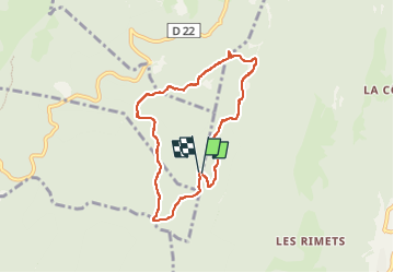

11,9 km | 24 km-effort


Utilisateur


Application GPS de randonnée GRATUITE
 SityTrail
IGN / Instituts géographiques
SityTrail World
Le monde est à vous
Randonnée Marche de 7,3 km à découvrir à Auvergne-Rhône-Alpes, Isère, Rencurel. Cette randonnée est proposée par TOULAUDIN.
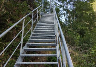
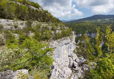
circuit facile réalisé le 4/8/22 .majoritairement en forêt donc idéal pas temps chaud ce qui était le cas (28° à 14H) sentier type forestier à noter jolie point de vue au pas de l'âne. quelques places de parking au départ

Marche

A pied

Marche
Marche
Marche
V.T.T.
Marche
Marche
Marche