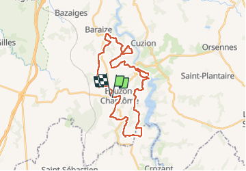
18,5 km | 24 km-effort
Eguzon
Dom4i
Utilisateur
Longueur
35 km
Altitude max
293 m
Dénivelé positif
547 m
Km-Effort
42 km
Altitude min
142 m
Dénivelé négatif
548 m
Boucle
Oui
Date de création :
2021-08-21 06:48:27.537
Dernière modification :
2022-08-03 20:38:34.478
6h29
Difficulté : Très difficile
Application GPS de randonnée GRATUITE
À propos
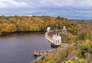
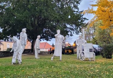
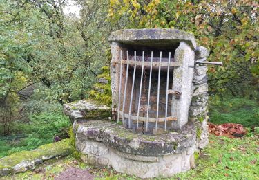
Randonnée Randonnée équestre de 35 km à découvrir à Centre-Val de Loire, Indre, Éguzon-Chantôme. Cette randonnée est proposée par Dom4i.
Localisation
Pays :
France
Région :
Centre-Val de Loire
Département/Province :
Indre
Commune :
Éguzon-Chantôme
Localité :
Unknown
Départ:(Dec)
Départ:(UTM)
390508 ; 5144052 (31T) N.
Commentaires
Randonnées à proximité
SityTrail - Eguzon - la Feyte barrage d'Eguzon
Marche
Très difficile
(1)
Éguzon-Chantôme,
Centre-Val de Loire,
Indre,
France
5h 26min
Oui
SityTrail - Fougères Rochers de la Fileuse sentier des arts
Marche
Très difficile
(1)
Saint-Plantaire,
Centre-Val de Loire,
Indre,
France
17,3 km | 22 km-effort
5h 6min
Oui
Eguzon - Circuit J2 30 km
Marche
Difficile
Cuzion,
Centre-Val de Loire,
Indre,
France
30 km | 40 km-effort
6h 46min
Oui
eguzon fete de la chataigne j 1
Marche
Difficile
Cuzion,
Centre-Val de Loire,
Indre,
France
28 km | 36 km-effort
6h 30min
Oui
eguzon j1- Balade de bienvenue
Marche
Éguzon-Chantôme,
Centre-Val de Loire,
Indre,
France
8,1 km | 9,7 km-effort
2h 11min
Oui
le rocher de la fileuse
Marche
Moyen
(1)
Saint-Plantaire,
Centre-Val de Loire,
Indre,
France
15 km | 19,4 km-effort
6h 7min
Oui
Pont des Piles - Crozant
Marche
Moyen
Cuzion,
Centre-Val de Loire,
Indre,
France
29 km | 38 km-effort
7h 0min
Oui
la passerelle de casse cou
Marche
Facile
(1)
Cuzion,
Centre-Val de Loire,
Indre,
France
3,2 km | 4,3 km-effort
1h 10min
Oui
5 ème rando Eguzon 18 km
Marche
Très difficile
Éguzon-Chantôme,
Centre-Val de Loire,
Indre,
France
19,9 km | 25 km-effort
4h 55min
Non