


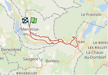


14,5 km | 20 km-effort

Utilisateur


Application GPS de randonnée GRATUITE
 SityTrail
IGN / Instituts géographiques
SityTrail World
Le monde est à vous
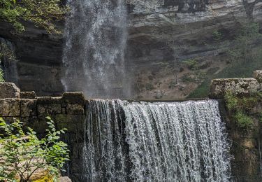
Randonnée Marche de 15 km à découvrir à Bourgogne-Franche-Comté, Jura, Menétrux-en-Joux. Cette randonnée est proposée par walrou63.
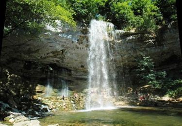
Suite à cet été très sec, très faible débit des cascades. Dommage, mais belle randonnée en partant de Ménétrux-en-Joux.


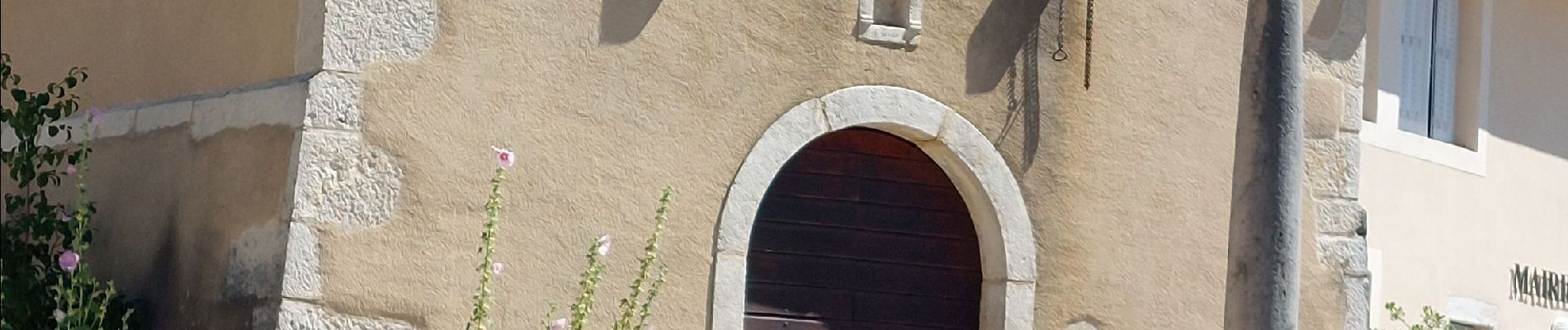
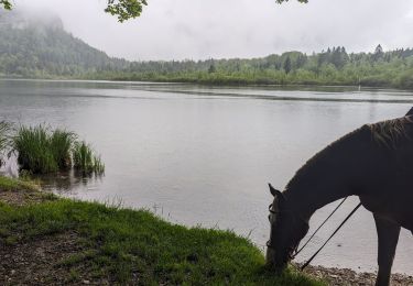
32 photos au total. Cliquez sur une photo pour les afficher toutes dans la galerie.

Marche

Marche
V.T.T.

Marche

Marche

Marche
Randonnée équestre
Randonnée équestre
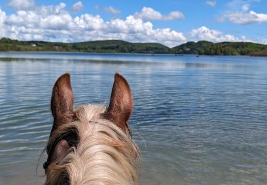
Randonnée équestre