


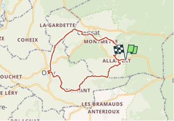

9,4 km | 11,8 km-effort

Utilisateur GUIDE


Application GPS de randonnée GRATUITE
 SityTrail
IGN / Instituts géographiques
SityTrail World
Le monde est à vous
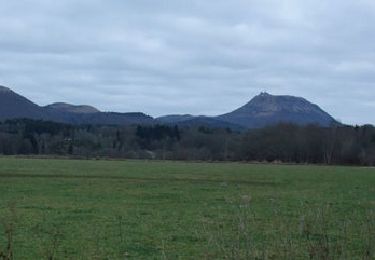
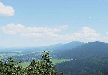
Randonnée Marche de 14,3 km à découvrir à Auvergne-Rhône-Alpes, Puy-de-Dôme, Ceyssat. Cette randonnée est proposée par jagarnier.
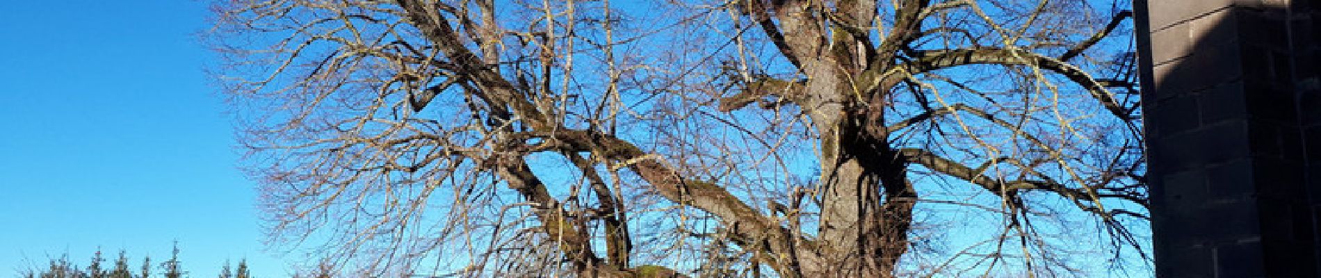
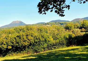
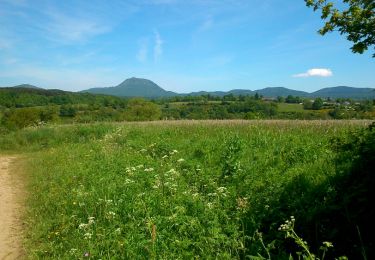
Sur le Plateau des Dômes, aux pieds des volcans, parcourrez la campagne de village en village. Deux belles surprises vous attendent sur ce parcours : le très beau tilleul sur la place de l'église d'Olby, et la Source Foker dans le bourg de Ceyssat.

Marche
Marche

Marche
Marche

Marche

Marche

Marche
A pied

A pied