


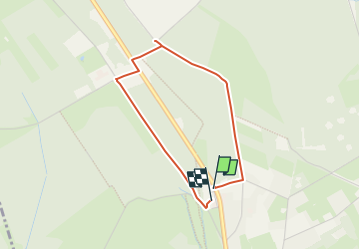


16,7 km | 22 km-effort
Nos balades autour de la brasserie n'attendent que vous! PRO


Application GPS de randonnée GRATUITE
 SityTrail
IGN / Instituts géographiques
SityTrail World
Le monde est à vous
Randonnée Marche de 2,8 km à découvrir à Wallonie, Liège, Waimes. Cette randonnée est proposée par Peak Beer.
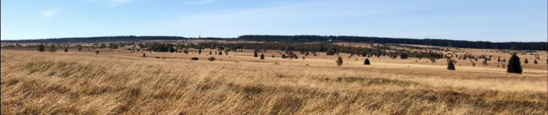
Cette petite balade de 2,5km (45 min), accessible aux poussettes, vous emmène jusqu’à la Fagne Wallonne et le centre nature de Botrange.
 - Photo 1")

Marche

Marche


Marche

Marche
Marche

Marche

Marche