


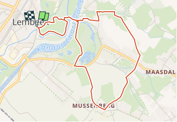


17,1 km | 22 km-effort


Utilisateur


Application GPS de randonnée GRATUITE
 SityTrail
IGN / Instituts géographiques
SityTrail World
Le monde est à vous
Randonnée Marche de 5,1 km à découvrir à Flandre, Brabant flamand, Hal. Cette randonnée est proposée par calofrancis.
Départ de l'entrée du parc, Gasthuisstraat, ou se trouvent des panneaux didactiques qui résument la vie de ce "village".
traversée du parc du château, de la réserve naturelle du domaine Malakoff, de la tour Malakoff construite par Paul Claes, dit le zotte baron ....

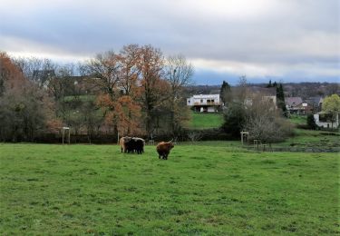
Marche

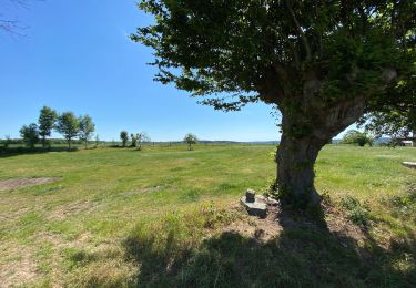
Marche

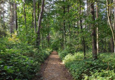
Marche

Marche

Marche

Marche
Marche
Marche
Marche