


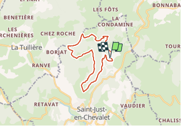

17,7 km | 25 km-effort


Utilisateur


Application GPS de randonnée GRATUITE
 SityTrail
IGN / Instituts géographiques
SityTrail World
Le monde est à vous
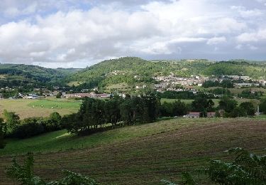
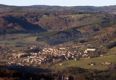
Randonnée Marche de 12,9 km à découvrir à Auvergne-Rhône-Alpes, Loire, Saint-Just-en-Chevalet. Cette randonnée est proposée par Jgar.
Parking au sommet du hameau Lat 45.9399 Long 3.8589
Monter le chemin, ne pas passer à Labouré et poursuivre sur le bois de Boulle. Traverser le ruisseau "Ban" et monter en direction de Dolle. Avant le hameau, tourner à droite et 2 fois à gauche.
A l'orée du bois, virer à droite puis 50° à gauche. Descendre le chemin qui mène au bois de Borjat A environ 600 m, monter à gauche. Tourner à droite puis à gauche jusqu'à La Châtre. Continuer sur la petite route et, quand elle vire à gauche, prendre à droite le long du bois. Poursuivre en descendant sur environ 2 km.
Tourner à gauche vers Montgrenier, passer au-dessus du Maillet et entreprendre la montée jusqu'à la route du Ban. Descendre par La Croze puis remonter, tourner à droite pour atteindre Arpheuille.


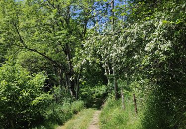
Marche

Marche
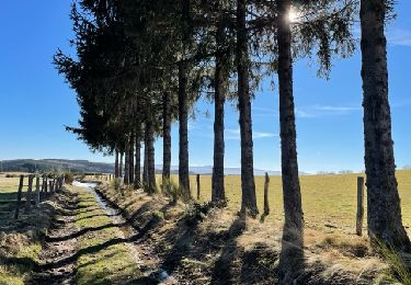
Marche
A pied
Course à pied

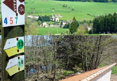
V.T.T.

Marche
V.T.T.
V.T.T.