


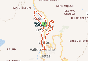

16,1 km | 33 km-effort


Utilisateur


Application GPS de randonnée GRATUITE
 SityTrail
IGN / Instituts géographiques
SityTrail World
Le monde est à vous
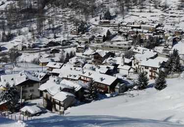
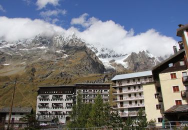
Randonnée Marche de 8,5 km à découvrir à Vallée d'Aoste, Inconnu, Valtournenche. Cette randonnée est proposée par David Toussaint.
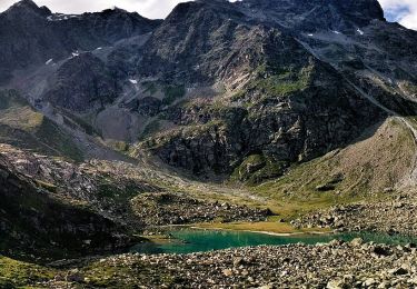
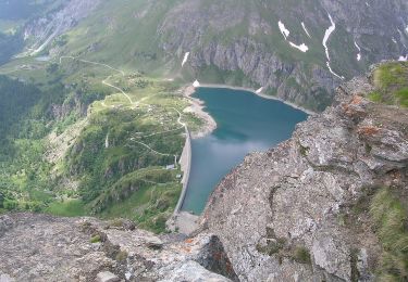
de Crepin, rejoindre le lago Doz par la foret le long du Rû, picnic et sieste au bord du lac puis retour par Valtournenche, petit verre en terrasse et emplettes du soir.
A pied
A pied
A pied
A pied
A pied
A pied
A pied
A pied
A pied