


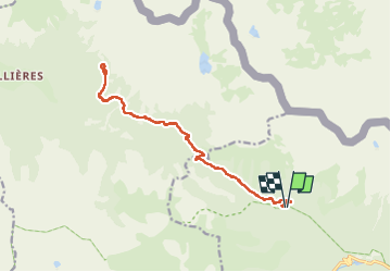

13,3 km | 20 km-effort

Utilisateur GUIDE


Application GPS de randonnée GRATUITE
 SityTrail
IGN / Instituts géographiques
SityTrail World
Le monde est à vous
Randonnée Marche de 17,3 km à découvrir à Provence-Alpes-Côte d'Azur, Alpes-Maritimes, Saint-Martin-Vésubie. Cette randonnée est proposée par donda.
Depuis le Parking de Salèse ( attention travaux suite à la tempête Alex) - Col de Salèse - prendre direction col Mercière.
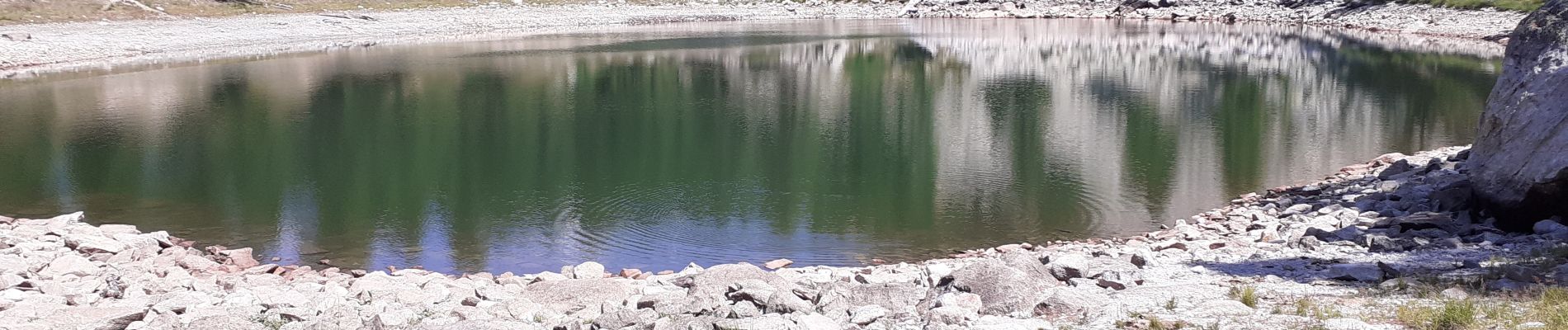
 - Photo 1")

Marche

Marche

Marche

Marche

A pied

A pied

A pied

A pied

Marche