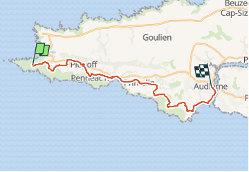

23 km | 30 km-effort


Utilisateur


Application GPS de randonnée GRATUITE
 SityTrail
IGN / Instituts géographiques
SityTrail World
Le monde est à vous
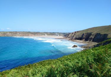
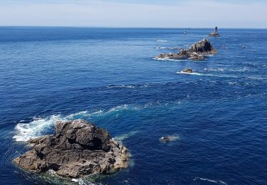
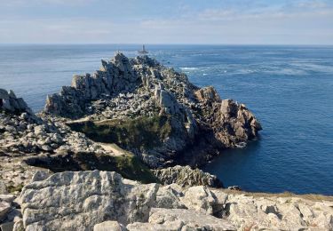
Randonnée Cyclotourisme de 21 km à découvrir à Bretagne, Finistère, Plogoff. Cette randonnée est proposée par Sarah92130.
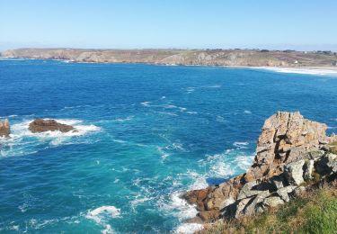
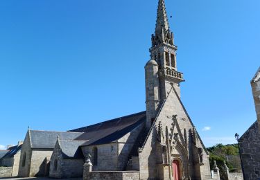
extrait du site france vélo tourisme : Cette étape de la véloroute littorale vous transporte au bout du monde au cœur d’un paysage grandiose et d’une nature sauvage. Laissez derrière vous le Grand Site de France de la Pointe du Raz, pour cheminer vers Audierne et son port de pêche et de plaisance. De l’itinéraire, jetez un œil aux ports abris, notamment celui de Bestrée, aménagés par les hommes pour protéger leurs bateaux des assauts de la mer. Les amateurs de patrimoine ne manqueront pas la chapelle de Saint-Tugen, en passant par le bourg de Primelin, un bel exemple de l'architecture de la Renaissance bretonne. Avant le centre d'Audierne, la véloroute longe la plage de Sainte-Evette, abritée et sûre.
Marche
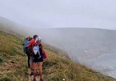
Marche
Marche
Marche

Marche
Marche
Marche
Marche