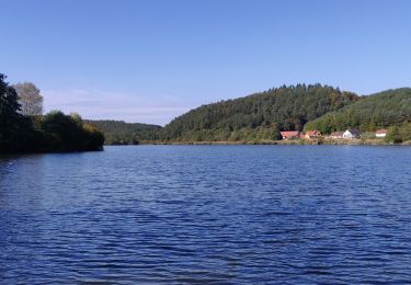
22 km | 29 km-effort
Laure balade
Mumu67330
Utilisateur
Longueur
10,3 km
Altitude max
351 m
Dénivelé positif
340 m
Km-Effort
14,8 km
Altitude min
195 m
Dénivelé négatif
329 m
Boucle
Oui
Date de création :
2022-07-22 11:33:59.0
Dernière modification :
2022-07-22 13:15:42.447
1h41
Difficulté : Facile
Application GPS de randonnée GRATUITE
À propos
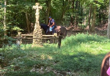
Randonnée Randonnée équestre de 10,3 km à découvrir à Grand Est, Bas-Rhin, Ingwiller. Cette randonnée est proposée par Mumu67330.
Description
Balade l
Localisation
Pays :
France
Région :
Grand Est
Département/Province :
Bas-Rhin
Commune :
Ingwiller
Localité :
Unknown
Départ:(Dec)
Départ:(UTM)
389250 ; 5416733 (32U) N.
Commentaires
Randonnées à proximité
ACDV 2023 - Randonnée à cheval - Reipertswiller a la pierre aux 12 apotres 22km
Randonnée équestre
Moyen
(1)
Reipertswiller,
Grand Est,
Bas-Rhin,
France
3h 51min
Oui
Anneau jaune 3
A pied
Facile
Reipertswiller,
Grand Est,
Bas-Rhin,
France
3,6 km | 5 km-effort
1h 7min
Non
Disque jaune
A pied
Facile
Reipertswiller,
Grand Est,
Bas-Rhin,
France
8,5 km | 11,2 km-effort
2h 32min
Non
Rectangle jaune barré de blanc
A pied
Facile
Wimmenau,
Grand Est,
Bas-Rhin,
France
4,7 km | 6,2 km-effort
1h 24min
Non
Acpl chez Pauline 2
Randonnée équestre
Moyen
Reipertswiller,
Grand Est,
Bas-Rhin,
France
16,6 km | 23 km-effort
2h 58min
Oui
boucle Ingwiller /Lichtemberg
Marche
Moyen
Ingwiller,
Grand Est,
Bas-Rhin,
France
20 km | 27 km-effort
5h 9min
Oui
2019-10-13 Rando CVA Lichtenberg vers Weiterswiller
Randonnée équestre
Moyen
Lichtenberg,
Grand Est,
Bas-Rhin,
France
21 km | 28 km-effort
3h 24min
Non
2019-10-12 Rando CVA Reipertswiller vers Lichtenberg
Randonnée équestre
Facile
Reipertswiller,
Grand Est,
Bas-Rhin,
France
29 km | 40 km-effort
2h 25min
Non