


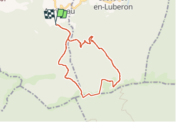

10,8 km | 13,8 km-effort

Utilisateur


Application GPS de randonnée GRATUITE
 SityTrail
IGN / Instituts géographiques
SityTrail World
Le monde est à vous
Randonnée Marche de 8,5 km à découvrir à Provence-Alpes-Côte d'Azur, Vaucluse, Auribeau. Cette randonnée est proposée par jll7513.
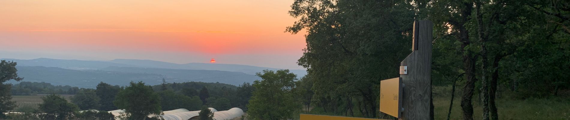
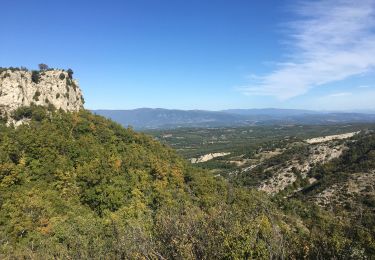
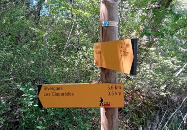
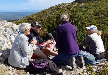
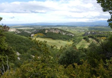
Ça dénivelle assez et dans ce sens la descente et relativement plus douce. De bonne heur en été, départ 6h30 plutôt bien ombragé. De beaux points de vue.


Marche

Marche
Marche
Vélo

Marche
Marche
Marche
Marche
Marche