


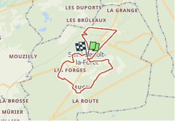


17,4 km | 21 km-effort


Utilisateur GUIDE


Application GPS de randonnée GRATUITE
 SityTrail
IGN / Instituts géographiques
SityTrail World
Le monde est à vous
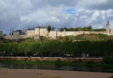
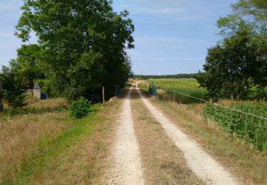
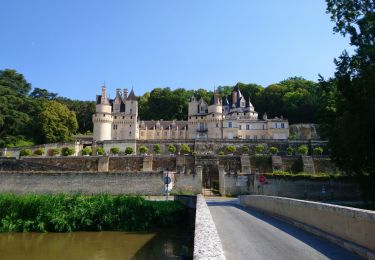
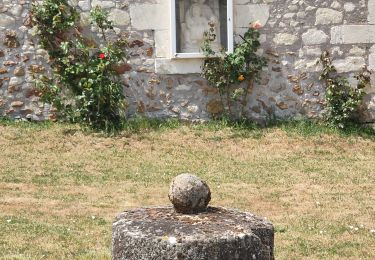
Randonnée Marche de 15,1 km à découvrir à Centre-Val de Loire, Indre-et-Loire, Saint-Benoît-la-Forêt. Cette randonnée est proposée par Orcal37.
Saint-Benoît-la-Forêt - GR3 PR sentier découverte - 15.1km 205m 3h50 - 2022 07 14


Marche
Marche
Marche
Marche

Vélo de route

A pied
Vélo de route
Vélo de route

Marche