


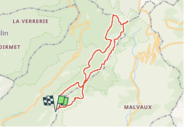


14,6 km | 23 km-effort

Utilisateur


Application GPS de randonnée GRATUITE
 SityTrail
IGN / Instituts géographiques
SityTrail World
Le monde est à vous
Randonnée Marche de 16,5 km à découvrir à Bourgogne-Franche-Comté, Haute-Saône, Plancher-les-Mines. Cette randonnée est proposée par Vadim.
C'est rando est sympa, mais je ne recommande pas d'empreinter le chemin entre le km 2,5 et le km 5,2. Trop à l'abandon, on y perd sans cesse la trace, sans compter les innombrables arbres tombés qui obligent beaucoup de contournement...


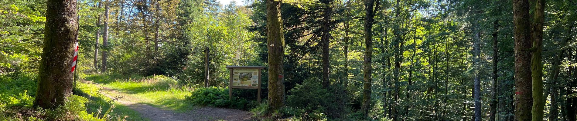
33 photos au total. Cliquez sur une photo pour les afficher toutes dans la galerie.

Marche

Marche

Marche

Marche

Marche

Marche

Marche

Marche

Marche