


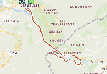


6,7 km | 11,7 km-effort

Utilisateur GUIDE


Application GPS de randonnée GRATUITE
 SityTrail
IGN / Instituts géographiques
SityTrail World
Le monde est à vous
Randonnée Marche de 9,6 km à découvrir à Auvergne-Rhône-Alpes, Haute-Savoie, Samoëns. Cette randonnée est proposée par stef789.
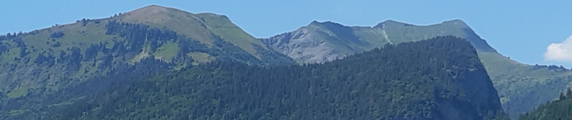
gorges ... ne vous attendez pas à trop ...


21 photos au total. Cliquez sur une photo pour les afficher toutes dans la galerie.

Marche

Marche

Marche

Ski de randonnée

Marche

Marche

Marche
Marche

Marche