


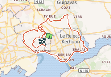


11,4 km | 14,8 km-effort

Utilisateur


Application GPS de randonnée GRATUITE
 SityTrail
IGN / Instituts géographiques
SityTrail World
Le monde est à vous
Randonnée Marche de 24 km à découvrir à Bretagne, Finistère, Guipavas. Cette randonnée est proposée par Malvina lauvernier.
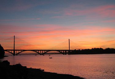
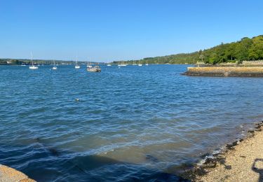
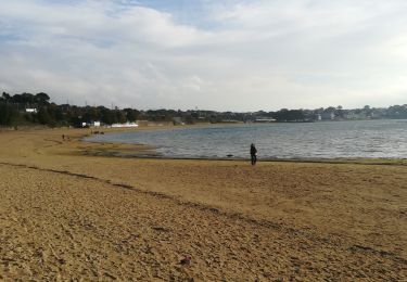
Cette promenade vous fera découvrir la vallée du Costour, la vallée du Cam, le vallon du Stang Alar, en passant par le lac de la pyrotechnie Saint Nicolas et en empreintant brièvement le GR 34.


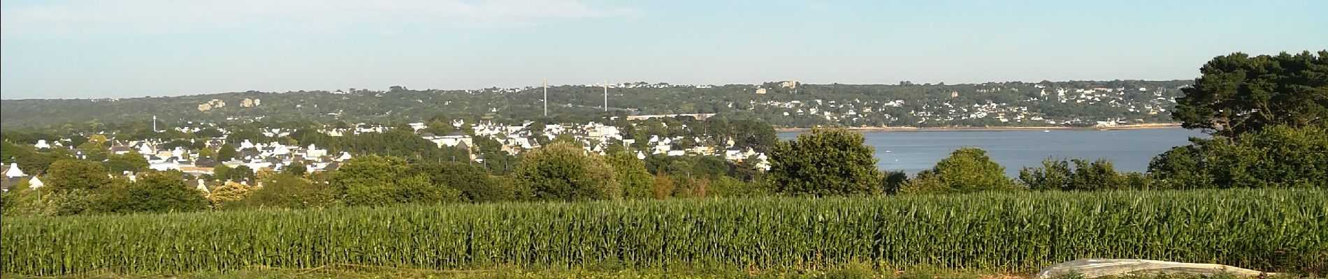
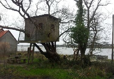
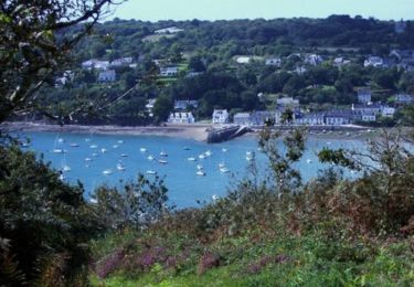
22 photos au total. Cliquez sur une photo pour les afficher toutes dans la galerie.
Marche
V.T.T.
Marche

Marche

Marche
Marche

Marche nordique
Course à pied
Marche