


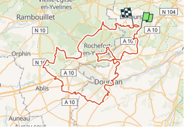

12,9 km | 14,3 km-effort


Utilisateur


Application GPS de randonnée GRATUITE
 SityTrail
IGN / Instituts géographiques
SityTrail World
Le monde est à vous
Randonnée Moteur de 96 km à découvrir à Île-de-France, Essonne, Forges-les-Bains. Cette randonnée est proposée par olivieraron.
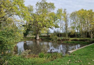
Marche

Marche
Marche
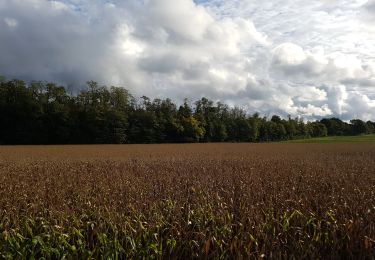
Marche

Marche

Marche

V.T.T.
V.T.T.
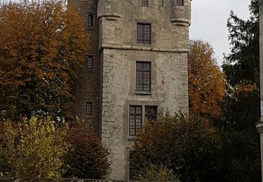
Marche