


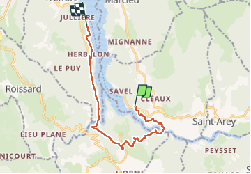


12,2 km | 18,4 km-effort

Utilisateur


Application GPS de randonnée GRATUITE
 SityTrail
IGN / Instituts géographiques
SityTrail World
Le monde est à vous
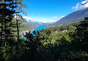
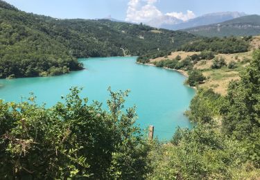
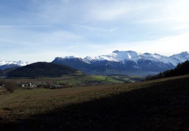
Randonnée Marche de 11,9 km à découvrir à Auvergne-Rhône-Alpes, Isère, Mayres-Savel. Cette randonnée est proposée par choubaka77.
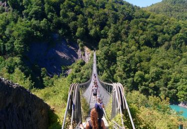
Circuit très agréable avec deux passages en mode frissons !!!! Circuit plus facile en sens inverse 😉
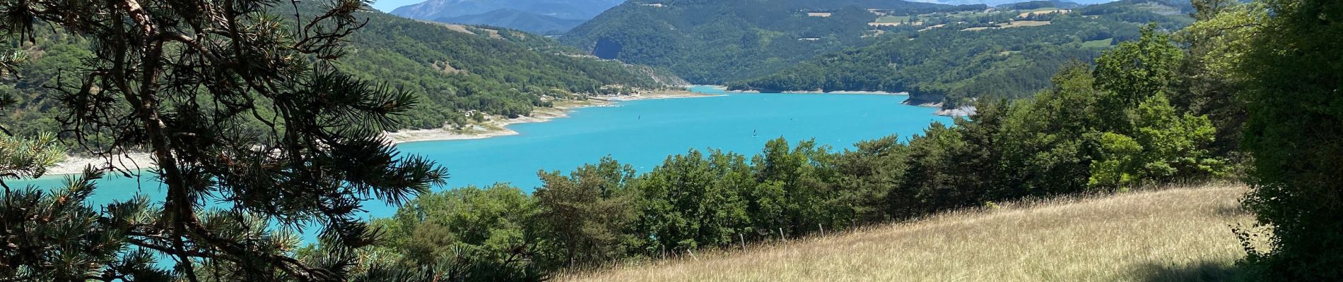
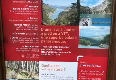
Retour via une traversée en bateau pour finir en mode très relax


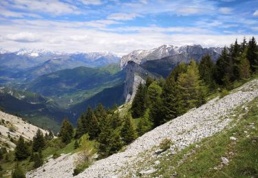
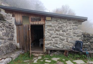
21 photos au total. Cliquez sur une photo pour les afficher toutes dans la galerie.

Marche
Cheval

Marche
Marche
Marche
Marche
Marche
Marche
Marche