


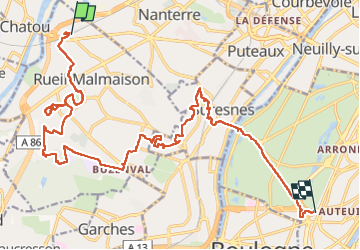


28 km | 32 km-effort

Utilisateur GUIDE


Application GPS de randonnée GRATUITE
 SityTrail
IGN / Instituts géographiques
SityTrail World
Le monde est à vous
Randonnée Marche de 22 km à découvrir à Île-de-France, Hauts-de-Seine, Rueil-Malmaison. Cette randonnée est proposée par chessyca.
Reconaissance de la rando du 30 juillet pour le RCY
- Ouverture du bois de Préau - 9h30
- ouverture du bois du domaine de Malmaison 10 h00
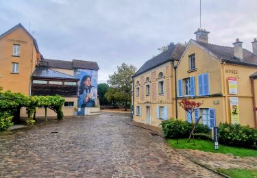
l'expo gratuite jusqu'au 31 octobre permet d'entrer dans le parc gratuitement


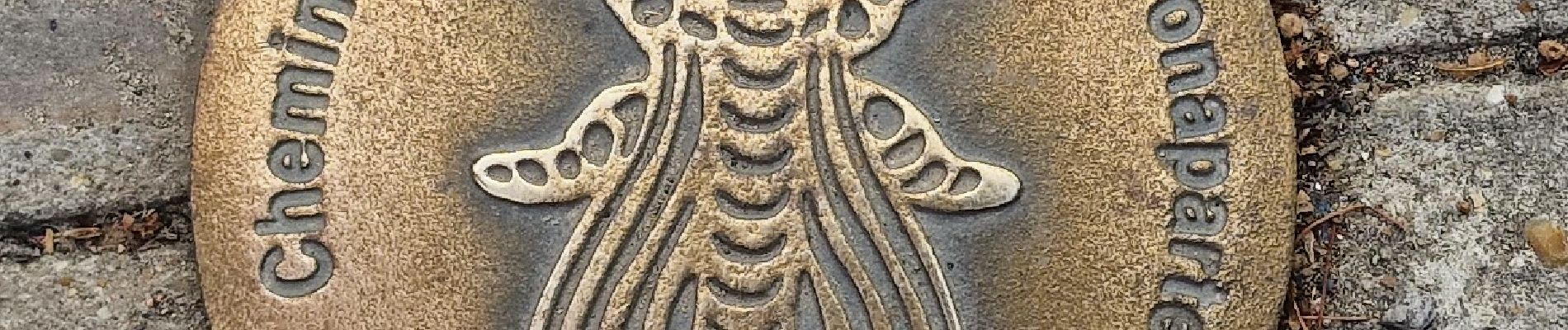
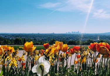
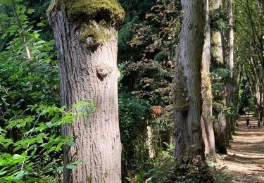
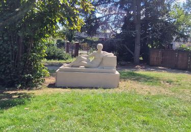
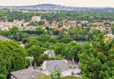
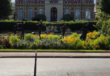
21 photos au total. Cliquez sur une photo pour les afficher toutes dans la galerie.
Marche
Marche
A pied

Marche
Marche
Marche
Marche
Marche
Marche