

clos ste Thérèse - bandol

cyrgab
Utilisateur

Longueur
8,9 km

Altitude max
152 m

Dénivelé positif
225 m

Km-Effort
11,8 km

Altitude min
7 m

Dénivelé négatif
215 m
Boucle
Oui
Date de création :
2022-07-06 06:50:09.443
Dernière modification :
2022-07-06 08:07:10.669
1h14
Difficulté : Difficile

Application GPS de randonnée GRATUITE
À propos
Randonnée Trail de 8,9 km à découvrir à Provence-Alpes-Côte d'Azur, Var, La Cadière-d'Azur. Cette randonnée est proposée par cyrgab.
Description
Départ camping clos ste Thérèse.
sentier de la galère jusqu'au sous marin.
Puis sentier littoral jusqu'à Bandol.
puis bandol classic jusqu'au golf et retour au camping.
Localisation
Pays :
France
Région :
Provence-Alpes-Côte d'Azur
Département/Province :
Var
Commune :
La Cadière-d'Azur
Localité :
Unknown
Départ:(Dec)
Départ:(UTM)
721934 ; 4782110 (31T) N.
Commentaires
Randonnées à proximité
Tour du golf de la frégate (Version Courte)


Marche
Facile
(1)
Bandol,
Provence-Alpes-Côte d'Azur,
Var,
France

8,7 km | 11,4 km-effort
3h 15min
Oui
Tour du golf de la Fregate (version longue sens anti horaire)


Marche
Très difficile
(1)
Bandol,
Provence-Alpes-Côte d'Azur,
Var,
France

13,5 km | 19 km-effort
4h 19min
Oui
St Cyr - Bandol


Marche
Moyen
(1)
Saint-Cyr-sur-Mer,
Provence-Alpes-Côte d'Azur,
Var,
France

16,1 km | 21 km-effort
4h 53min
Non
Port d'Alon - Bandol - Port d'Alon


Marche
Moyen
(1)
Saint-Cyr-sur-Mer,
Provence-Alpes-Côte d'Azur,
Var,
France

7,7 km | 9,9 km-effort
2h 0min
Oui
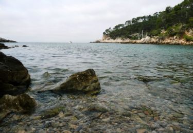
Le Port d'Alon


Marche
Moyen
(2)
Saint-Cyr-sur-Mer,
Provence-Alpes-Côte d'Azur,
Var,
France

9,4 km | 12,8 km-effort
3h 0min
Oui
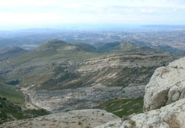
Rando Bandol - Port d'Alon - Bandol


Marche
Difficile
(1)
Bandol,
Provence-Alpes-Côte d'Azur,
Var,
France

7,2 km | 9,4 km-effort
2h 30min
Oui

20220329_La Cadière d'Azur


Marche nordique
Très facile
(1)
La Cadière-d'Azur,
Provence-Alpes-Côte d'Azur,
Var,
France

6,8 km | 8,6 km-effort
1h 30min
Oui

20220329_La Cadière d'Azur


Marche nordique
Très facile
(1)
La Cadière-d'Azur,
Provence-Alpes-Côte d'Azur,
Var,
France

6,8 km | 8,6 km-effort
1h 30min
Oui
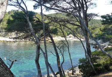
Sentier du littoral (Saint-Cyr-sur-Mer)


A pied
Facile
Saint-Cyr-sur-Mer,
Provence-Alpes-Côte d'Azur,
Var,
France

4,9 km | 6,5 km-effort
1h 27min
Non


 SityTrail


