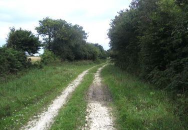
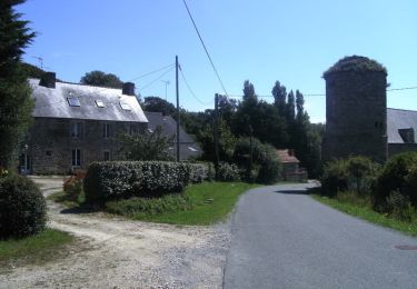
11,3 km | 13,1 km-effort
Le Vretot
clrunavot
Utilisateur
Longueur
12,2 km
Altitude max
118 m
Dénivelé positif
240 m
Km-Effort
15,4 km
Altitude min
50 m
Dénivelé négatif
241 m
Boucle
Oui
Date de création :
2022-07-03 12:01:14.693
Dernière modification :
2022-07-04 18:57:58.642
2h54
Difficulté : Difficile
Application GPS de randonnée GRATUITE
À propos
Randonnée Marche de 12,2 km à découvrir à Normandie, Manche, Bricquebec-en-Cotentin. Cette randonnée est proposée par clrunavot.
Description
départ mairie
Localisation
Pays :
France
Région :
Normandie
Département/Province :
Manche
Commune :
Bricquebec-en-Cotentin
Localité :
Le Vrétot
Départ:(Dec)
Départ:(UTM)
593512 ; 5478411 (30U) N.
Commentaires
Randonnées à proximité
Senoville - Cap Carteret
V.T.T.
Moyen
Sénoville,
Normandie,
Manche,
France
23 km | 27 km-effort
2h 0min
Oui
Senoville - Cap Rozel
V.T.T.
Difficile
Sénoville,
Normandie,
Manche,
France
27 km | 31 km-effort
2h 49min
Oui
29 décembre 2020
Moto
Très facile
Sénoville,
Normandie,
Manche,
France
101 km | 120 km-effort
10h 26min
Oui
le vretot
V.T.T.
Très facile
Bricquebec-en-Cotentin,
Normandie,
Manche,
France
24 km | 28 km-effort
2h 8min
Oui
Sortoville en Beaumont moyenne
Marche
Moyen
Sortosville-en-Beaumont,
Normandie,
Manche,
France
7,5 km | 9,9 km-effort
2h 23min
Oui
Sortoville en Beaumont
Marche
Difficile
Sortosville-en-Beaumont,
Normandie,
Manche,
France
10,4 km | 13,5 km-effort
3h 2min
Oui
BRICQUEBEC
V.T.T.
Moyen
Bricquebec-en-Cotentin,
Normandie,
Manche,
France
22 km | 27 km-effort
1h 38min
Oui
05 09 2020 Fermanville
Moto
Très facile
Sénoville,
Normandie,
Manche,
France
171 km | 208 km-effort
8h 42min
Oui