19,2 km | 27 km-effort
Gotthard 6-Seen
steger12
Utilisateur
Longueur
9,2 km
Altitude max
2487 m
Dénivelé positif
481 m
Km-Effort
15,6 km
Altitude min
2076 m
Dénivelé négatif
480 m
Boucle
Oui
Date de création :
2014-12-10 00:00:00.0
Dernière modification :
2014-12-10 00:00:00.0
--
Difficulté : Inconnu
Application GPS de randonnée GRATUITE
À propos
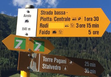
Randonnée Autre activité de 9,2 km à découvrir à Tessin, District de Léventine, Airolo. Cette randonnée est proposée par steger12.
Localisation
Pays :
Suisse
Région :
Tessin
Département/Province :
District de Léventine
Commune :
Airolo
Localité :
Unknown
Départ:(Dec)
Départ:(UTM)
465742 ; 5156583 (32T) N.
Commentaires
Randonnées à proximité
Strada Alta
A pied
Très difficile
Airolo,
Tessin,
District de Léventine,
Suisse
44 km | 67 km-effort
15h 17min
Non
Ospizio San Gottardo-Hospental
A pied
Facile
Airolo,
Tessin,
District de Léventine,
Suisse
9,1 km | 11,6 km-effort
2h 38min
Non
Lago della Sella - fixme
A pied
Facile
Airolo,
Tessin,
District de Léventine,
Suisse
3 km | 5,4 km-effort
1h 13min
Non
Airolo 3 cols
Vélo de route
Très difficile
Airolo,
Tessin,
District de Léventine,
Suisse
100 km | 144 km-effort
8h 43min
Oui
Airolo barrage Ambri
Vélo de route
Très difficile
Airolo,
Tessin,
District de Léventine,
Suisse
28 km | 43 km-effort
2h 35min
Oui
Motto Bartola-Ospizio San Gottardo
A pied
Facile
Airolo,
Tessin,
District de Léventine,
Suisse
4,6 km | 6,6 km-effort
1h 29min
Non
y10_val_canaria
Autre activité
Très facile
Airolo,
Tessin,
District de Léventine,
Suisse
16,2 km | 28 km-effort
6h 27min
Non
y10_lago_tremorgio
Autre activité
Très facile
Airolo,
Tessin,
District de Léventine,
Suisse
16,4 km | 34 km-effort
7h 29min
Non