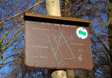
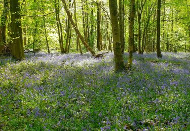
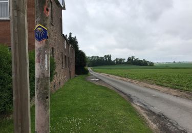
Randonnée Marche Binche - rando binche - Photo
 brunobuj
brunobuj

Utilisateur

© OpenStreetMap contributors
Longueur
Longueur
19,9 km
Altitude max
Altitude max
210 m
Dénivelé positif
Dénivelé positif
218 m
Km-Effort
Km-Effort  
23 km
Altitude min
Altitude min
86 m
Dénivelé négatif
Dénivelé négatif
219 m
Boucle
Boucle
Oui
Date de création :
2022-07-02 07:47:27.75
Dernière modification :
2022-07-02 14:45:32.336

(1 Avis)

Marche
Marche
5h29
Difficulté : Très difficile

Scannez ce code QR pour ouvrir la randonnée dans l'application SityTrail

Application GPS de randonnée GRATUITE

Logo SityTrail SityTrail

IGN / Instituts géographiques

Télécharger SityTrail sur l'App Store Télécharger SityTrail sur Google Play

Logo SityTrail SityTrail World

Le monde est à vous

Télécharger SityTrail sur l'App Store Télécharger SityTrail sur Google Play Télécharger SityTrail sur Huawei AppGallery

À propos

Randonnée Marche de 19,9 km à découvrir à Wallonie, Hainaut, Binche. Cette randonnée est proposée par brunobuj.

Profil altimétrique

Localisation

Pays :
Belgique
Région :
Wallonie
Département/Province :
Hainaut
Commune :
Binche
Localité :
Unknown
Départ:(UTM)
583925 ; 5585782 (31U) N.

Commentaires

Veuillez vous connecter pour laisser un commentaire ou une note


Très chouette rando Cependant, 2 points d'attention : A Ressaix, du km 1.9 au km 2.5, "sentier du terril de la Courte" appartient à la région et on ne peut pas passer sans document d'autorisation bien qu'il n'y ait rien qui l'interdise (je me suis fait arrêter par un garde forestier) Au km 10.9, le sentier est mangé par le champs


Randonnées à proximité

Randonnée Marche Lobbes - Balade à Mont-Sainte-Geneviève - Photo
Marche
GUIDE
Desrumaux

Marche

Très facile
(3)
Lobbes, Wallonie, Hainaut, Belgique
9,1 km | 10,4 km-effort
2h 18min
Oui
Randonnée Marche Binche - Les marais de Buvrinnes - Photo
Marche
GUIDE
Desrumaux

Marche

Très facile
(2)
Binche, Wallonie, Hainaut, Belgique
4,2 km | 5 km-effort
1h 5min
Oui
Randonnée Marche Binche - De Leval-Trahegnies à Mont-Sainte-Aldegonde - Photo
Marche
GUIDE
Desrumaux

Marche

Facile
(1)
Binche, Wallonie, Hainaut, Belgique
8,8 km | 10,8 km-effort
2h 20min
Oui
Randonnée Marche Binche - Balade à Binche - Photo
Marche
GUIDE
Desrumaux

Marche

Moyen
(4)
Binche, Wallonie, Hainaut, Belgique
17,9 km | 21 km-effort
4h 30min
Oui
Randonnée Marche nordique Morlanwelz - Mont Sainte Aldegonde 7km - Photo
Marche nordique
CMNMM

Marche nordique

Facile
(1)
Morlanwelz, Wallonie, Hainaut, Belgique
7,1 km | 8,2 km-effort
1h 30min
Oui
Randonnée Marche Lobbes - Balade à Mont-Sainte-Geneviève - Photo
Marche
GUIDE
Desrumaux

Marche

Moyen
(1)
Lobbes, Wallonie, Hainaut, Belgique
10,5 km | 11,8 km-effort
3h 11min
Oui
Randonnée Marche Lobbes - Balade à Mont-Sainte-Geneviève - Photo
Marche
GUIDE
Desrumaux

Marche

Moyen
Lobbes, Wallonie, Hainaut, Belgique
9,9 km | 11,8 km-effort
2h 40min
Oui
Randonnée Marche Binche - Autour du marais de Buvrinnes - Photo
Marche
grisous

Marche

Facile
(1)
Binche, Wallonie, Hainaut, Belgique
4,2 km | 5 km-effort
1h 8min
Oui
Randonnée Marche Binche - Binche 20 km - Photo
Marche
GUIDE
rvapeldo

Marche

Moyen
Binche, Wallonie, Hainaut, Belgique
20 km | 0 m-effort
4h 49min
Oui


Fermer
Mes abonnements