


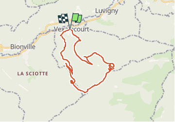


8,7 km | 13,9 km-effort

Utilisateur


Application GPS de randonnée GRATUITE
 SityTrail
IGN / Instituts géographiques
SityTrail World
Le monde est à vous
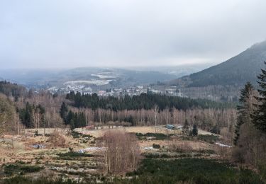
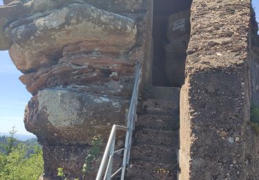
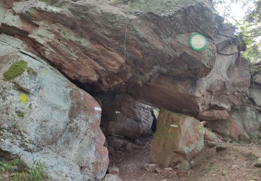
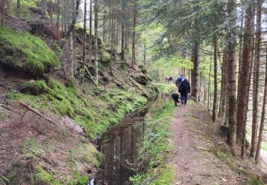
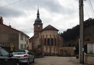
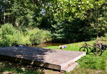
Randonnée Marche de 16,3 km à découvrir à Grand Est, Vosges, Vexaincourt. Cette randonnée est proposée par Bart2015.
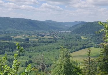
Belle randonnée pour rejoindre le beau lac de la Maix, l'un des derniers lacs naturels de formation glaciaire du massif vosgien, plus confidentiel depuis que les voitures ne peuvent y accéder. A visiter également sa chapelle où les enfants n'oublieront pas de faire sonner la cloche ... Poursuite de la rando pour découvrir quelques pierres à cupules et une roche à colonnes et un dolmen ...
Bonne rando ...


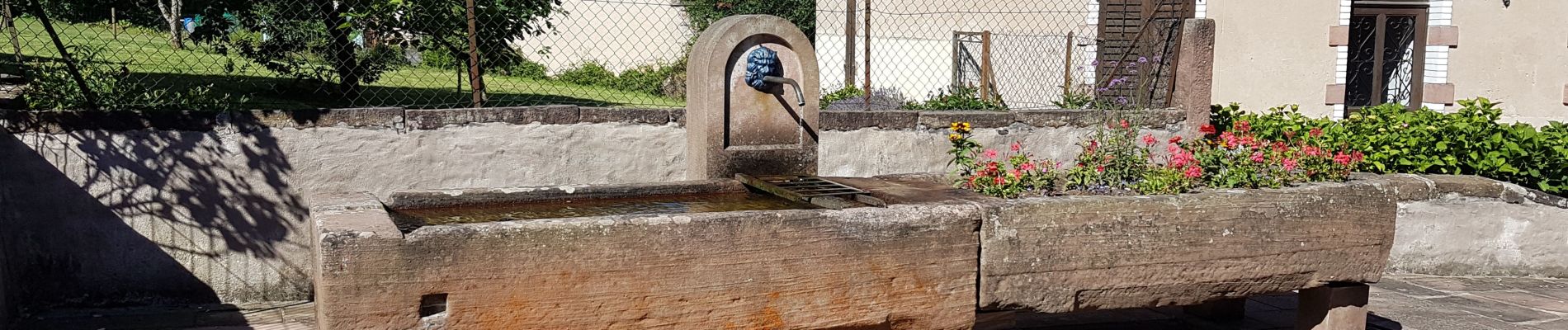
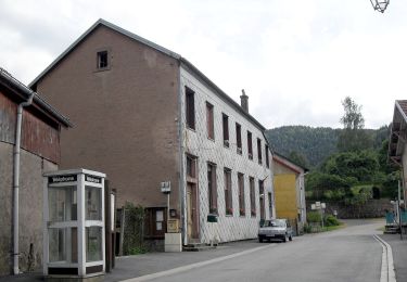
34 photos au total. Cliquez sur une photo pour les afficher toutes dans la galerie.
A pied
Marche
Marche
Marche
Marche
Marche
A pied

Randonnée équestre
V.T.T.