


12,6 km | 21 km-effort

Utilisateur


Application GPS de randonnée GRATUITE
 SityTrail
IGN / Instituts géographiques
SityTrail World
Le monde est à vous
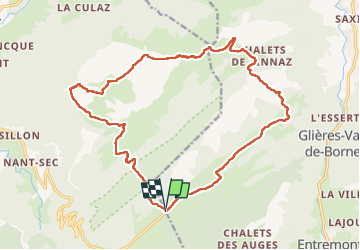
Randonnée Marche de 21 km à découvrir à Auvergne-Rhône-Alpes, Haute-Savoie, Glières-Val-de-Borne. Cette randonnée est proposée par djeepee74.
BOUCLE... live le 30 juin 2022
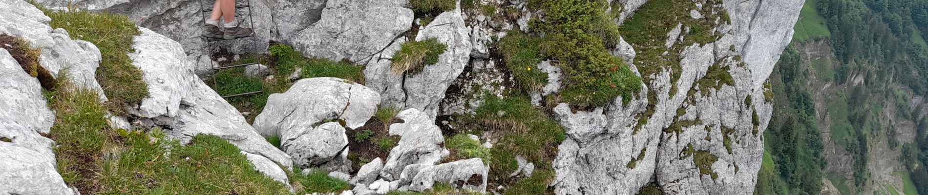
Depuis Sous Dine, en suivant l'arête "est", deux passages sont sécurisés:
- l'un avec câble & échelle
- le second par un câble (en toute fin de la barre rocheuse)
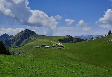
Ensuite, pour rejoindre le col du câble, le sentier n'est pas toujours bien visible (pour ne pas dire inexistant, se perdant dans les lapiaz)... se diriger à vue vers la pente herbeuse de la Roche Parnal.


Marche

Marche

Marche
Marche
Marche
Marche
Marche
Marche
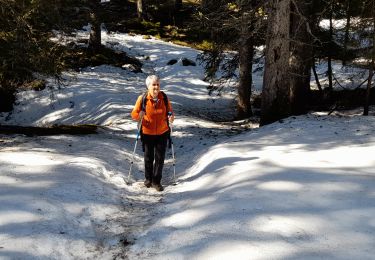
Raquettes à neige