


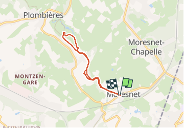


9,5 km | 12 km-effort

Utilisateur GUIDE


Application GPS de randonnée GRATUITE
 SityTrail
IGN / Instituts géographiques
SityTrail World
Le monde est à vous
Randonnée Marche de 5,1 km à découvrir à Wallonie, Liège, Plombières. Cette randonnée est proposée par pierreh01.
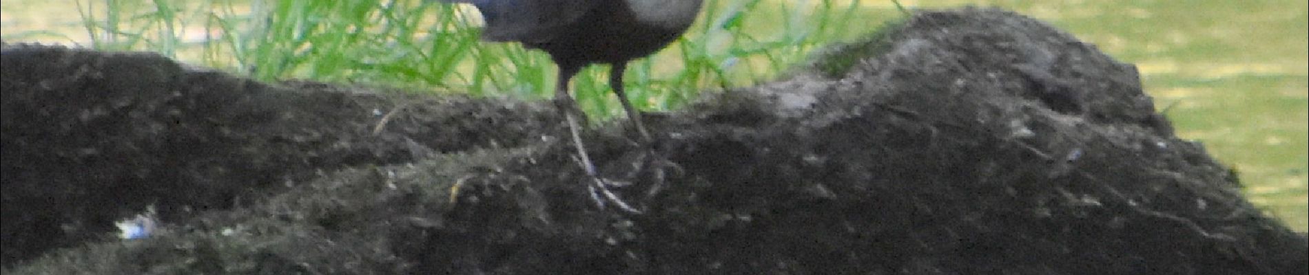
Jeudi 23 juin 2022 : Balade ornithologique UCPL
Quoi ! Ma gueule, ...
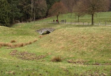
Petit circuit non balisé en boucle au départ de Moresnet Village à travers bois et prairies, presqu'entièrement à proximité de la Gueule, petite rivière bien agréable.
Pas de difficulté rencontrée.


52 photos au total. Cliquez sur une photo pour les afficher toutes dans la galerie.

Marche

Marche

Marche

Marche

Marche

Marche

Marche

Marche