


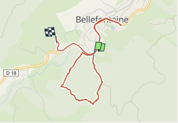

15 km | 21 km-effort

Utilisateur


Application GPS de randonnée GRATUITE
 SityTrail
IGN / Instituts géographiques
SityTrail World
Le monde est à vous
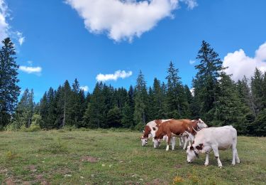
Randonnée Marche de 4,8 km à découvrir à Bourgogne-Franche-Comté, Jura, Bellefontaine. Cette randonnée est proposée par Mady Lambert.
Orthographe non garantie.
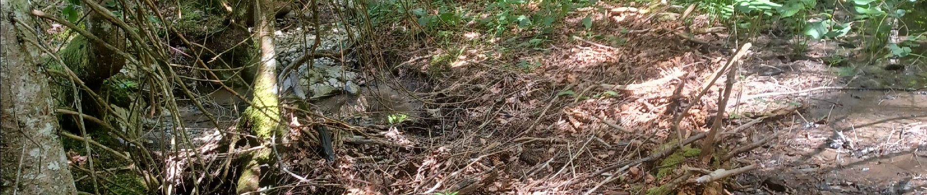
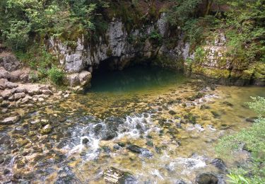
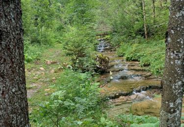
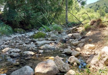
Très jolie promenade à travers bois, petits ruisseaux, attention, à très faibles débits, prévoir à emporter de l'eau. Au bonheur des chiens.


Marche

Marche

Marche
Marche
Marche

Marche
Marche
Marche
Marche