Randonnée Cyclotourisme Unknown - Krems Wien - Photo
 pierrebourhis
pierrebourhis

Utilisateur

© OpenStreetMap contributors
Longueur
Longueur
69 km
Altitude max
Altitude max
407 m
Dénivelé positif
Dénivelé positif
688 m
Km-Effort
Km-Effort  
78 km
Altitude min
Altitude min
170 m
Dénivelé négatif
Dénivelé négatif
641 m
Boucle
Boucle
Non
Date de création :
2022-06-18 06:07:41.0
Dernière modification :
2022-06-19 06:08:02.324

(0 Avis)

Cyclotourisme
Cyclotourisme
21h13
Difficulté : Moyen

Scannez ce code QR pour ouvrir la randonnée dans l'application SityTrail

Application GPS de randonnée GRATUITE

Logo SityTrail SityTrail

IGN / Instituts géographiques

Télécharger SityTrail sur l'App Store Télécharger SityTrail sur Google Play

Logo SityTrail SityTrail World

Le monde est à vous

Télécharger SityTrail sur l'App Store Télécharger SityTrail sur Google Play Télécharger SityTrail sur Huawei AppGallery

À propos

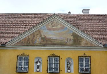
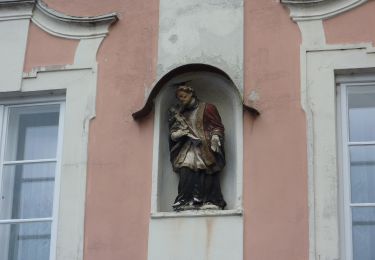
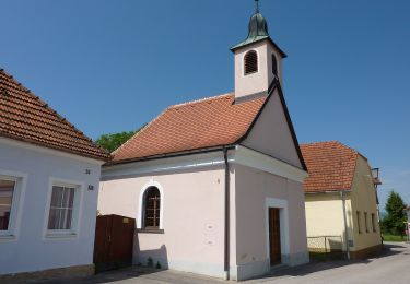
Randonnée Cyclotourisme de 69 km à découvrir à Basse-Autriche, Krems an der Donau. Cette randonnée est proposée par pierrebourhis.

Profil altimétrique

Localisation

Pays :
Autriche
Région :
Basse-Autriche
Département/Province :
Krems an der Donau
Commune :
Unknown
Localité :
Unknown
Départ:(Dec)
Départ:(UTM)
543845 ; 5361359 (33U) N.

Randonnées à proximité

Randonnée A pied  - Stein a.d. Donau-Fesslhütte über Hengelwand (grün) - Photo
A pied
GUIDE+

A pied

Facile
, Basse-Autriche, Krems an der Donau, Autriche
3,2 km | 6,1 km-effort
1h 22min
Non
Randonnée A pied Gemeinde Dürnstein - Loibner Holzweg zur Kreuzung Hengelwand (blau) - Photo
A pied
GUIDE+

A pied

Facile
Gemeinde Dürnstein, Basse-Autriche, Bezirk Krems, Autriche
3,5 km | 6,5 km-effort
1h 29min
Non
Randonnée A pied Gemeinde Mautern an der Donau - Welterbesteig Wachau Etappe 14 - Photo
A pied
GUIDE+

A pied

Facile
Gemeinde Mautern an der Donau, Basse-Autriche, Bezirk Krems, Autriche
4 km | 4,6 km-effort
1h 2min
Non
Randonnée A pied Bergern im Dunkelsteinerwald - Welterbesteig Wachau Etappe 13 - Photo
A pied
GUIDE+

A pied

Moyen
Bergern im Dunkelsteinerwald, Basse-Autriche, Bezirk Krems, Autriche
16,7 km | 22 km-effort
5h 2min
Non
Randonnée A pied Gemeinde Paudorf - Bergwerk-Gedenkweg - Photo
A pied
GUIDE+

A pied

Facile
Gemeinde Paudorf, Basse-Autriche, Bezirk Krems, Autriche
8,8 km | 11,4 km-effort
2h 35min
Oui
Randonnée A pied  - Wachauer Marillen-Erlebnisweg Angern - Krems Süd - Photo
A pied
GUIDE+

A pied

Facile
, Basse-Autriche, Krems an der Donau, Autriche
4,9 km | 6,4 km-effort
1h 27min
Oui
Randonnée A pied  - Welterbesteig Wachau Etappe 1 - Photo
A pied
GUIDE+

A pied

Facile
, Basse-Autriche, Krems an der Donau, Autriche
12,9 km | 18,7 km-effort
4h 15min
Non
Randonnée A pied Gemeinde Furth bei Göttweig - AT-P3 - Photo
A pied
GUIDE+

A pied

Facile
Gemeinde Furth bei Göttweig, Basse-Autriche, Bezirk Krems, Autriche
4,3 km | 6,6 km-effort
1h 29min
Oui


Fermer
Mes abonnements