


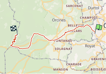

10,8 km | 16,4 km-effort

Utilisateur


Application GPS de randonnée GRATUITE
 SityTrail
IGN / Instituts géographiques
SityTrail World
Le monde est à vous
Randonnée Marche de 12,8 km à découvrir à Auvergne-Rhône-Alpes, Puy-de-Dôme, Chamalières. Cette randonnée est proposée par dwarfartus.
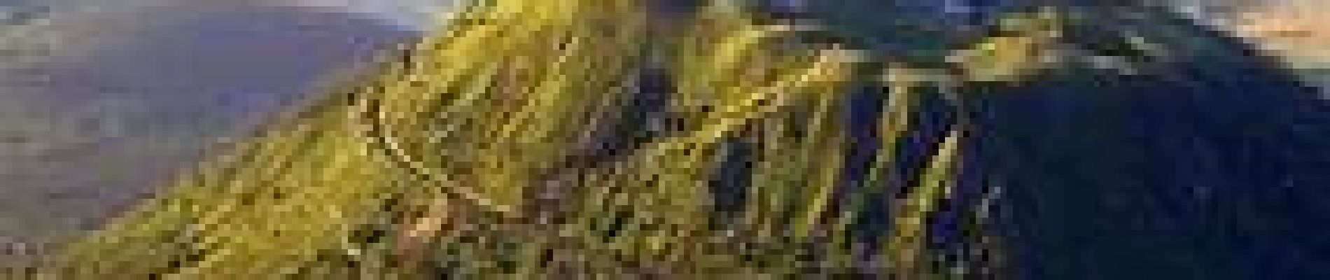
bande de lycéen debile pour ce lancé comme tout les ans pour monté en haut du puy de dome pour le levé du soleil (sans dormir bien evidament).


Marche

Marche

Marche

Marche

Marche

Marche

Marche

Marche

A pied