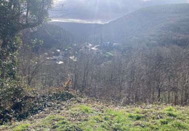
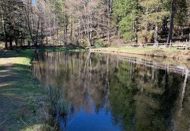
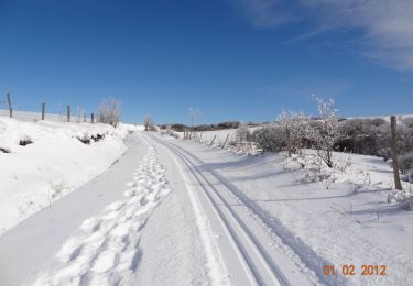
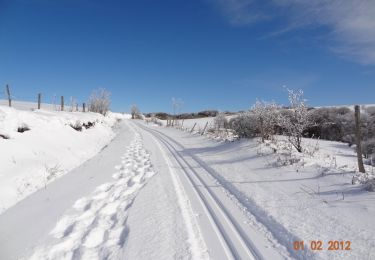
12,6 km | 18,8 km-effort
ROC DU MONTALET (aller-retour)
CANON2
Utilisateur
Longueur
14,4 km
Altitude max
1248 m
Dénivelé positif
320 m
Km-Effort
18,7 km
Altitude min
1011 m
Dénivelé négatif
320 m
Boucle
Oui
Date de création :
2022-06-17 05:54:49.432
Dernière modification :
2022-06-17 05:55:26.228
4h14
Difficulté : Facile
Application GPS de randonnée GRATUITE
À propos
Randonnée A pied de 14,4 km à découvrir à Occitanie, Tarn, Lacaune. Cette randonnée est proposée par CANON2.
Localisation
Pays :
France
Région :
Occitanie
Département/Province :
Tarn
Commune :
Lacaune
Localité :
Unknown
Départ:(Dec)
Départ:(UTM)
473712 ; 4837708 (31T) N.
Commentaires
Randonnées à proximité
Voir verte Gijounet
Marche
Facile
Gijounet,
Occitanie,
Tarn,
France
11,3 km | 14,6 km-effort
2h 52min
Oui
Sous bois de Martinou
Marche
Facile
(2)
Lacaune,
Occitanie,
Tarn,
France
7,3 km | 9,6 km-effort
2h 12min
Oui
Boucle du Bel Vespré - Lacaune
Raquettes à neige
Très difficile
Lacaune,
Occitanie,
Tarn,
France
15,7 km | 19,4 km-effort
4h 0min
Oui
Boucle du Bel Vespré - Lacaune
V.T.T.
Moyen
Lacaune,
Occitanie,
Tarn,
France
15,7 km | 19,4 km-effort
1h 30min
Oui
Boucle du Bel Vespré - Lacaune
Marche
Difficile
Lacaune,
Occitanie,
Tarn,
France
15,7 km | 19,4 km-effort
4h 0min
Oui
Gijounet-Fontbonne
Marche
Très facile
Gijounet,
Occitanie,
Tarn,
France
12,3 km | 17,4 km-effort
5h 13min
Non
81_Gijounet
Marche
Très difficile
Gijounet,
Occitanie,
Tarn,
France
18,9 km | 28 km-effort
6h 15min
Oui