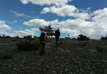
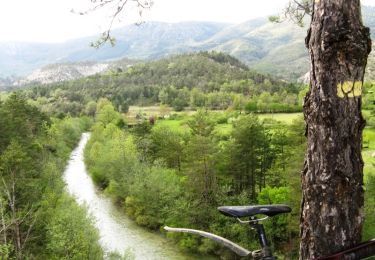
11,5 km | 17,8 km-effort
aiglun
GARRIGUE
Utilisateur
Longueur
41 km
Altitude max
1167 m
Dénivelé positif
1011 m
Km-Effort
54 km
Altitude min
679 m
Dénivelé négatif
1011 m
Boucle
Oui
Date de création :
2022-06-11 06:19:17.001
Dernière modification :
2022-06-11 09:01:35.499
2h41
Difficulté : Très facile
Application GPS de randonnée GRATUITE
À propos
Randonnée Vélo électrique de 41 km à découvrir à Provence-Alpes-Côte d'Azur, Alpes-Maritimes, Saint-Auban. Cette randonnée est proposée par GARRIGUE.
Localisation
Pays :
France
Région :
Provence-Alpes-Côte d'Azur
Département/Province :
Alpes-Maritimes
Commune :
Saint-Auban
Localité :
Unknown
Départ:(Dec)
Départ:(UTM)
317737 ; 4856957 (32T) N.
Commentaires
Randonnées à proximité
Grand tour du haut Estéron - Etape 1
A pied
Facile
Saint-Auban,
Provence-Alpes-Côte d'Azur,
Alpes-Maritimes,
France
4h 3min
Non
Le Beausset - St Auban - Clue de St Auban
Marche
Moyen
Saint-Auban,
Provence-Alpes-Côte d'Azur,
Alpes-Maritimes,
France
3,7 km | 7,5 km-effort
1h 23min
Oui
Les Lattes - Chauvet - Pensiers Occidental et Oriental
Marche
Moyen
Saint-Auban,
Provence-Alpes-Côte d'Azur,
Alpes-Maritimes,
France
11,4 km | 18,6 km-effort
3h 39min
Oui
Col de l'Escouissier
Marche
Moyen
Saint-Auban,
Provence-Alpes-Côte d'Azur,
Alpes-Maritimes,
France
9,1 km | 13,7 km-effort
2h 47min
Oui
Saint Auban
Marche
Moyen
Saint-Auban,
Provence-Alpes-Côte d'Azur,
Alpes-Maritimes,
France
17,2 km | 26 km-effort
4h 53min
Oui
Grand tour du haut Estéron
A pied
Très difficile
Saint-Auban,
Provence-Alpes-Côte d'Azur,
Alpes-Maritimes,
France
80 km | 136 km-effort
30h 57min
Oui
Tous les 4 à St Auban
Marche
Difficile
Saint-Auban,
Provence-Alpes-Côte d'Azur,
Alpes-Maritimes,
France
10,7 km | 18,8 km-effort
6h 1min
Oui
06 castellane
Vélo
Moyen
Saint-Auban,
Provence-Alpes-Côte d'Azur,
Alpes-Maritimes,
France
69 km | 88 km-effort
4h 47min
Non
Grande Traversée des PréAlpes à VTT : St Auban - Gars
V.T.T.
Difficile
(2)
Saint-Auban,
Provence-Alpes-Côte d'Azur,
Alpes-Maritimes,
France
9,9 km | 14,8 km-effort
2h 0min
Non