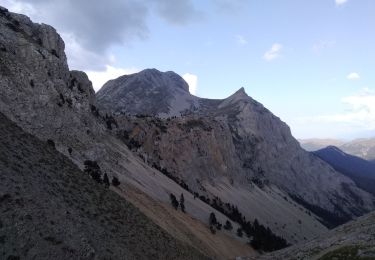
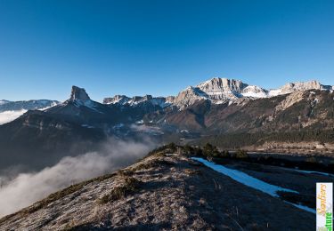
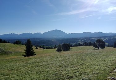
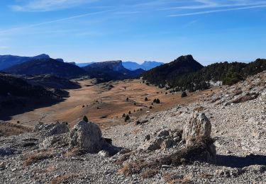
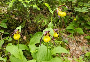
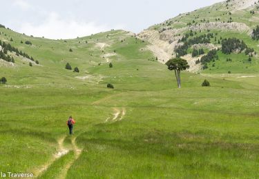
Randonnée A pied Saint-Martin-de-Clelles - Tour du Mont Aiguille 4 Juin 2022 - Photo
 CIE NPS
CIE NPS

Utilisateur

© OpenStreetMap contributors
Longueur
Longueur
17,4 km
Altitude max
Altitude max
1706 m
Dénivelé positif
Dénivelé positif
1107 m
Km-Effort
Km-Effort  
32 km
Altitude min
Altitude min
1005 m
Dénivelé négatif
Dénivelé négatif
1105 m
Boucle
Boucle
Oui
Date de création :
2022-06-07 16:23:44.967
Dernière modification :
2022-06-07 16:30:49.548

(0 Avis)

A pied
A pied
7h18
Difficulté : Difficile

Scannez ce code QR pour ouvrir la randonnée dans l'application SityTrail

Application GPS de randonnée GRATUITE

Logo SityTrail SityTrail

IGN / Instituts géographiques

Télécharger SityTrail sur l'App Store Télécharger SityTrail sur Google Play

Logo SityTrail SityTrail World

Le monde est à vous

Télécharger SityTrail sur l'App Store Télécharger SityTrail sur Google Play Télécharger SityTrail sur Huawei AppGallery

À propos

Randonnée A pied de 17,4 km à découvrir à Auvergne-Rhône-Alpes, Isère, Saint-Martin-de-Clelles. Cette randonnée est proposée par CIE NPS.

Description

Tour du Mont Aiguille (Sud Vercors)

Profil altimétrique

Points d'intérêt

Point d'intérêt Saint-Michel-les-Portes - Les Pellas - Photo
CIE NPS
SAINT-MICHEL-LES-PORTES 
Point d'intérêt Saint-Michel-les-Portes - Carrefour Parc  - Photo
CIE NPS
SAINT-MICHEL-LES-PORTES 
Point d'intérêt Saint-Michel-les-Portes - Carrefour  - Photo
CIE NPS
SAINT-MICHEL-LES-PORTES 
Point d'intérêt Chichilianne - Pierrier précéd - Photo
CIE NPS
CHICHILIANNE 
Point d'intérêt Chichilianne - Richardière - Photo
CIE NPS
CHICHILIANNE 
Point d'intérêt Chichilianne - Carrefour Tour  - Photo
CIE NPS
CHICHILIANNE 
Point d'intérêt Chichilianne - Carrefour GTV - Photo
CIE NPS
CHICHILIANNE 
Point d'intérêt Saint-Martin-de-Clelles - Ruisseau du Mon - Photo
CIE NPS
SAINT-MARTIN-DE-CLELLES 
Point d'intérêt Saint-Martin-de-Clelles - D7c - Photo
CIE NPS
SAINT-MARTIN-DE-CLELLES 
Point d'intérêt Saint-Martin-de-Clelles - Parking de Trez - Photo
CIE NPS
SAINT-MARTIN-DE-CLELLES 
Point d'intérêt Saint-Martin-de-Clelles - Parking de Trez - Photo
CIE NPS
SAINT-MARTIN-DE-CLELLES 

Localisation

Pays :
France
Région :
Auvergne-Rhône-Alpes
Département/Province :
Isère
Commune :
Saint-Martin-de-Clelles
Localité :
Unknown
Départ:(Dec)
Départ:(UTM)
703888 ; 4968984 (31T) N.

Randonnées à proximité

Randonnée Marche Saint-Michel-les-Portes - Grand Ceymont par la face Sud - Photo
Marche
GUIDE
nadd73

Marche

Difficile
(1)
Saint-Michel-les-Portes, Auvergne-Rhône-Alpes, Isère, France
14,3 km | 31 km-effort
6h 0min
Oui
Randonnée Marche Gresse-en-Vercors - Traversée du Rocher du Baconnet - Photo
Marche
tracegps

Marche

Facile
(2)
Gresse-en-Vercors, Auvergne-Rhône-Alpes, Isère, France
10,7 km | 18,9 km-effort
5h 0min
Oui
Randonnée Marche Chichilianne - La Fontaine Pourrie - Hauts Plateaux Sud du Vercors - Photo
Marche
tracegps

Marche

Moyen
(2)
Chichilianne, Auvergne-Rhône-Alpes, Isère, France
19,4 km | 33 km-effort
7h 45min
Oui
Randonnée Marche Gresse-en-Vercors - traversée Sud nord du Grand Veymont  - Photo
Marche
GUIDE
nadd73

Marche

Difficile
Gresse-en-Vercors, Auvergne-Rhône-Alpes, Isère, France
26 km | 40 km-effort
10h 42min
Non
Randonnée Marche Chichilianne - 38 Chichilianne Tour du Mont Aiguille - Photo
Marche
Maryma

Marche

Très difficile
(1)
Chichilianne, Auvergne-Rhône-Alpes, Isère, France
17,7 km | 33 km-effort
7h 27min
Oui
Randonnée Raquettes à neige Chichilianne - chichilianne archiane - Photo
Raquettes à neige
jerome-dupont@laposte.net

Raquettes à neige

Moyen
(1)
Chichilianne, Auvergne-Rhône-Alpes, Isère, France
18,9 km | 32 km-effort
8h 0min
Non
Randonnée Marche Saint-Michel-les-Portes - Pas de Bachassons et de la Selle - Photo
Marche
GuyVachet

Marche

Très difficile
Saint-Michel-les-Portes, Auvergne-Rhône-Alpes, Isère, France
13,1 km | 26 km-effort
7h 36min
Oui
Randonnée Marche Chichilianne - Diois 2024 1ère journée  - Photo
Marche
planets

Marche

Moyen
Chichilianne, Auvergne-Rhône-Alpes, Isère, France
22 km | 35 km-effort
4h 59min
Non
Randonnée Marche Gresse-en-Vercors -  Pas des Baschassons - Carrière romaine - Pas de la Selle - Photo
Marche
ilur56

Marche

Difficile
Gresse-en-Vercors, Auvergne-Rhône-Alpes, Isère, France
16,9 km | 31 km-effort
7h 0min
Oui


Fermer
Mes abonnements