12 km | 17,2 km-effort
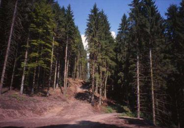
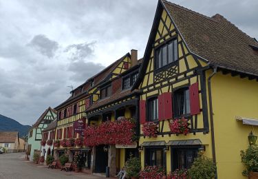
Kintzheim -VOITURE -BL362 - 33kms - A la conquête du Haut-Koenigsbourg
jeanphi.hennebert
Utilisateur
Longueur
27 km
Altitude max
615 m
Dénivelé positif
613 m
Km-Effort
35 km
Altitude min
181 m
Dénivelé négatif
617 m
Boucle
Oui
Date de création :
2022-05-30 09:15:08.147
Dernière modification :
2022-05-30 09:15:08.147
--
Difficulté : Difficile
Application GPS de randonnée GRATUITE
À propos
Randonnée V.T.C. de 27 km à découvrir à Grand Est, Bas-Rhin, Kintzheim. Cette randonnée est proposée par jeanphi.hennebert.
Localisation
Pays :
France
Région :
Grand Est
Département/Province :
Bas-Rhin
Commune :
Kintzheim
Localité :
Unknown
Départ:(Dec)
Départ:(UTM)
380886 ; 5345904 (32U) N.
Commentaires
Randonnées à proximité
Le Hahnenberg et les balcons Sélestat
Marche
Moyen
(2)
Châtenois,
Grand Est,
Bas-Rhin,
France
4h 29min
Oui
Sentier de l'Illwald
Marche
Moyen
(1)
Sélestat,
Grand Est,
Bas-Rhin,
France
13,2 km | 14,6 km-effort
3h 45min
Oui
Le Haut Koenigsbourg de Val de Ville
Marche
Difficile
(1)
Châtenois,
Grand Est,
Bas-Rhin,
France
16,8 km | 25 km-effort
5h 0min
Oui
2023-10-15 Marche Haut Koenigsbourg
Marche
Moyen
Kintzheim,
Grand Est,
Bas-Rhin,
France
18,5 km | 28 km-effort
6h 16min
Oui
St hippolyte ht koenigsbourg
Marche
Moyen
(2)
Saint-Hippolyte,
Grand Est,
Haut-Rhin,
France
12 km | 18,7 km-effort
3h 27min
Oui
chateau de ortenbourg
Marche
Très facile
(1)
Scherwiller,
Grand Est,
Bas-Rhin,
France
4,6 km | 7,9 km-effort
1h 29min
Oui
St-Hippolyte - Rorschwihr - Grasberg - Bergheim - Reichenberg - Rodern
Marche
Moyen
Saint-Hippolyte,
Grand Est,
Haut-Rhin,
France
17,3 km | 22 km-effort
4h 28min
Oui
Sélestat : balade dans le Ried
Marche
Difficile
Sélestat,
Grand Est,
Bas-Rhin,
France
11,4 km | 12,6 km-effort
2h 51min
Oui
Vignoble
Vélo électrique
Très facile
Sélestat,
Grand Est,
Bas-Rhin,
France
50 km | 57 km-effort
3h 4min
Non