


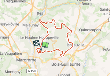


11,7 km | 15,2 km-effort

Utilisateur


Application GPS de randonnée GRATUITE
 SityTrail
IGN / Instituts géographiques
SityTrail World
Le monde est à vous
Randonnée Marche de 29 km à découvrir à Normandie, Seine-Maritime, Notre-Dame-de-Bondeville. Cette randonnée est proposée par jacques delaporte.
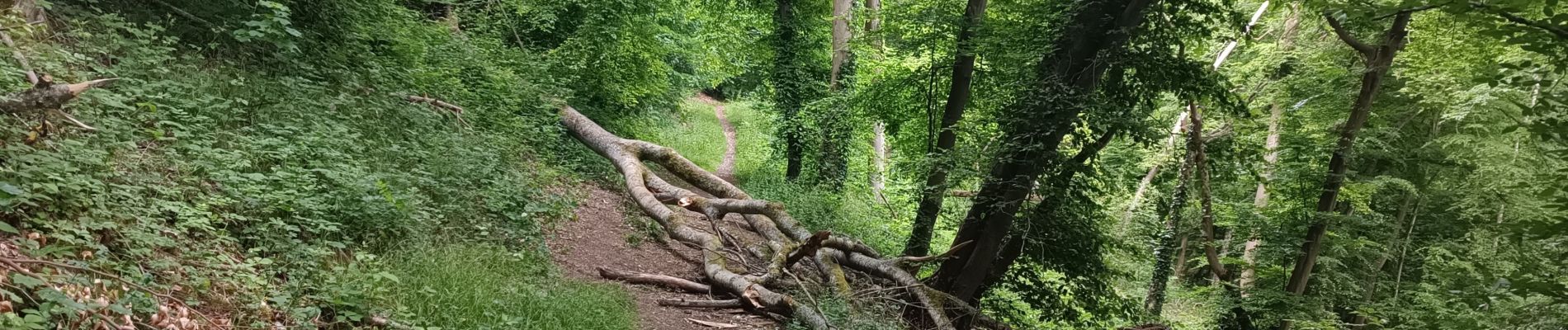
Belle randonnée,le Sentier de la bicyclette en passant, traversée des Bois, excellence.❤️


34 photos au total. Cliquez sur une photo pour les afficher toutes dans la galerie.

Marche

Marche

Marche

V.T.T.
Marche

Marche

Marche nordique

Marche

Marche