


9 km | 12,3 km-effort


Utilisateur


Application GPS de randonnée GRATUITE
 SityTrail
IGN / Instituts géographiques
SityTrail World
Le monde est à vous
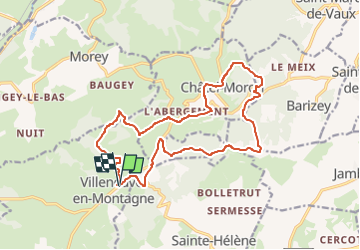
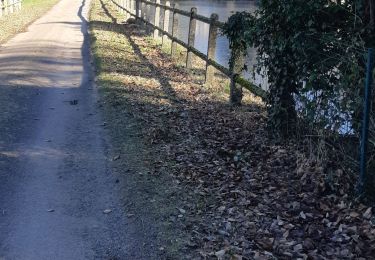
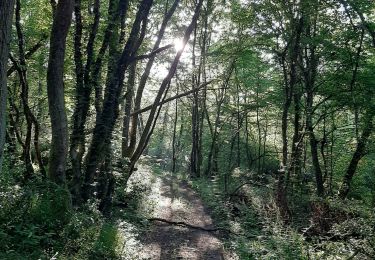
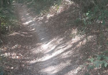
Randonnée A pied de 17,1 km à découvrir à Bourgogne-Franche-Comté, Saône-et-Loire, Villeneuve-en-Montagne. Cette randonnée est proposée par pensionisten71.
Beau parcours de l'Association La Rose des Vents avec de bons ravitos
tous les ans avec des tracés différents à la même époque.le calculateur des durées évalule pour des randonneurs très lents.Il faut moins de 4 h.

Marche
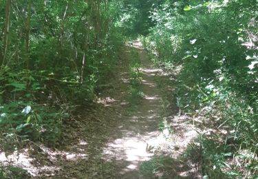
Marche
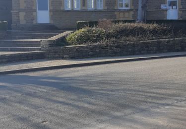
Marche
Marche
Marche
Marche
Marche
Marche

A pied