


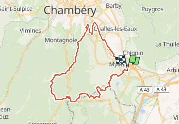

13,2 km | 30 km-effort


Utilisateur


Application GPS de randonnée GRATUITE
 SityTrail
IGN / Instituts géographiques
SityTrail World
Le monde est à vous
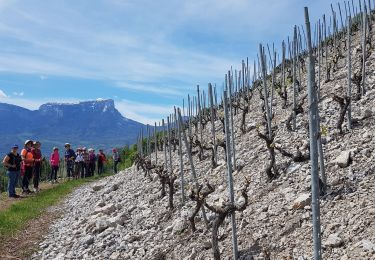
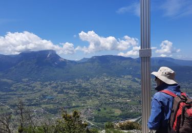
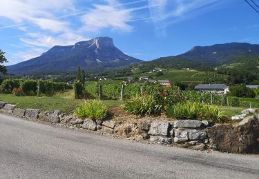
Randonnée V.T.T. de 37 km à découvrir à Auvergne-Rhône-Alpes, Savoie, Porte-de-Savoie. Cette randonnée est proposée par jmperi.
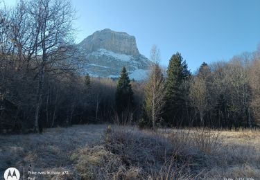
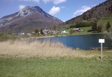
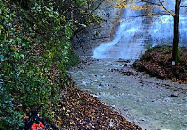
Les Marches, lac noir, sentier des charbonniers, col du Granier, granges de Joigny, Gorgeat, Lentille, Essort, pas de la Fosse, bec du corbeau, Croix de la Coche, la Chambotte, La Villette, allée verte sud, Myans, Les Marches. 4h avec 20 min de pause.

Marche
Marche
Marche
Marche
V.T.T.
Marche nordique
Marche

Marche
Marche