


9,5 km | 13,3 km-effort

Utilisateur


Application GPS de randonnée GRATUITE
 SityTrail
IGN / Instituts géographiques
SityTrail World
Le monde est à vous
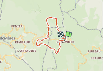
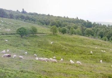
Randonnée Marche de 13,4 km à découvrir à Auvergne-Rhône-Alpes, Puy-de-Dôme, Saint-Anthème. Cette randonnée est proposée par swp648.
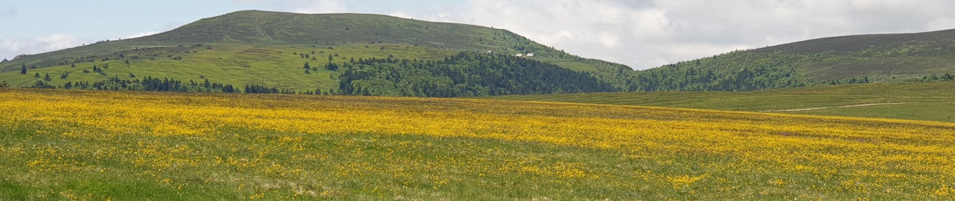
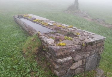
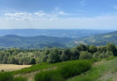
Parcours très fleuri et belles jasseries à découvrir, déjeuner à l'auberge des Gentianes au col des Supeyres où nous avons eu un bon accueil où nous avons dégusté un très bon plateau de charcuterie.
Visiter l'écomusée au Coq noir.


Marche

Marche

A pied

A pied

Cheval
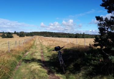
V.T.T.
Marche
Marche
Marche
Secteur des hautes chaumes