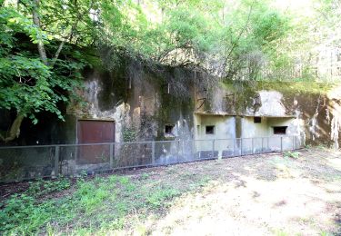
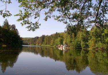
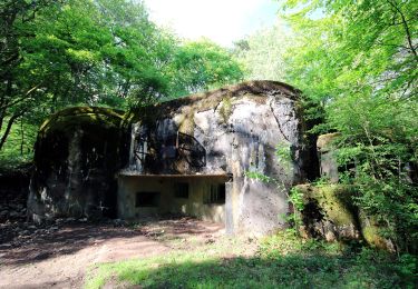
7,8 km | 10,1 km-effort
essai5
Rémy Isenmann
Utilisateur
Longueur
13 km
Altitude max
405 m
Dénivelé positif
312 m
Km-Effort
16,9 km
Altitude min
268 m
Dénivelé négatif
253 m
Boucle
Non
Date de création :
2022-05-26 07:57:38.878
Dernière modification :
2022-05-26 16:36:09.388
3h18
Difficulté : Facile
Application GPS de randonnée GRATUITE
À propos
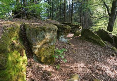
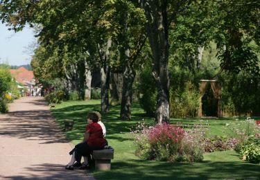
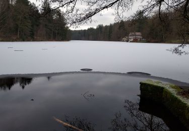
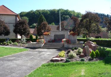
Randonnée Randonnée équestre de 13 km à découvrir à Grand Est, Moselle, Bitche. Cette randonnée est proposée par Rémy Isenmann.
Description
bitche
Localisation
Pays :
France
Région :
Grand Est
Département/Province :
Moselle
Commune :
Bitche
Localité :
Unknown
Départ:(Dec)
Départ:(UTM)
386186 ; 5437081 (32U) N.
Commentaires
Randonnées à proximité
Etang de Hasselfurth et Hochkopf - Bitche
Marche
Moyen
(1)
Bitche,
Grand Est,
Moselle,
France
2h 0min
Oui
Circuit panoramique de Bitche
Marche
Moyen
(2)
Bitche,
Grand Est,
Moselle,
France
12,7 km | 16,7 km-effort
3h 25min
Oui
Étang Hasselfurth 250112
Marche
Moyen
Bitche,
Grand Est,
Moselle,
France
9,9 km | 13,1 km-effort
3h 0min
Oui
Chevalet jaune
A pied
Facile
Hanviller,
Grand Est,
Moselle,
France
6,3 km | 7,1 km-effort
1h 37min
Non
Anneau bleu
A pied
Facile
Schorbach,
Grand Est,
Moselle,
France
14,6 km | 18,7 km-effort
4h 15min
Oui
Triangle jaune
A pied
Facile
Bitche,
Grand Est,
Moselle,
France
8,4 km | 10,7 km-effort
2h 26min
Non
Rectangle jaune-blanc-jaune
A pied
Difficile
Bitche,
Grand Est,
Moselle,
France
26 km | 35 km-effort
7h 58min
Non
Chevalet jaune
A pied
Facile
Bitche,
Grand Est,
Moselle,
France
12,1 km | 18,2 km-effort
4h 7min
Non
Circuit panoramique autour de Bitche
A pied
Facile
(1)
Schorbach,
Grand Est,
Moselle,
France
13,1 km | 17,2 km-effort
3h 54min
Oui