


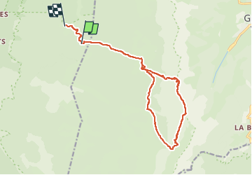

24 km | 33 km-effort


Utilisateur


Application GPS de randonnée GRATUITE
 SityTrail
IGN / Instituts géographiques
SityTrail World
Le monde est à vous
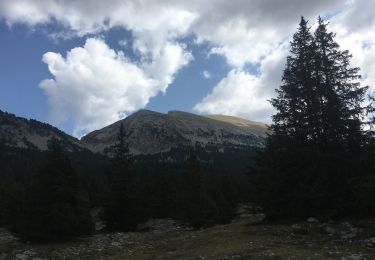
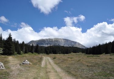
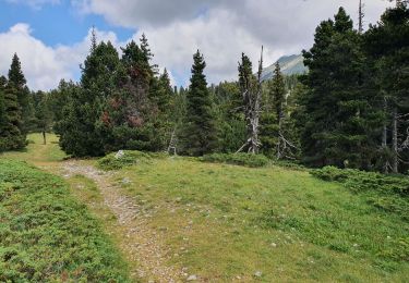
Randonnée Marche de 17,4 km à découvrir à Auvergne-Rhône-Alpes, Drôme, Saint-Agnan-en-Vercors. Cette randonnée est proposée par hugo26.
belle rando au départ du refuge de pré râteau, le pas de la ville, le grand veymont, le pas des chatons, et retour. Parcours plus cour que depuis le parking de la coche.- 6km

Marche

Marche

Marche
Marche
Marche
Marche
Marche
Marche
Marche