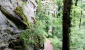
Randonnée Marche Consdorf - Superbe promenade vers le Kuelscheier   - Photo

Superbe promenade vers le Kuelscheier

« L’heure de la fin des découvertes ne sonne jamais. » Colette GUIDE+

© OpenStreetMap contributors
Longueur
Longueur
6,6 km
Altitude max
Altitude max
395 m
Dénivelé positif
Dénivelé positif
134 m
Km-Effort
Km-Effort  
8,3 km
Altitude min
Altitude min
328 m
Dénivelé négatif
Dénivelé négatif
131 m
Boucle
Boucle
Oui
Date de création :
2022-05-22 17:44:05.86
Dernière modification :
2022-05-22 17:47:39.419

(1 Avis)

Marche
Marche
1h53
Difficulté : Moyen

Scannez ce code QR pour ouvrir la randonnée dans l'application SityTrail

Application GPS de randonnée GRATUITE

Logo SityTrail SityTrail
IGN / Instituts géographiques

Télécharger SityTrail sur l'App Store Télécharger SityTrail sur Google Play

Logo SityTrail SityTrail World

Le monde est à vous

Télécharger SityTrail sur l'App Store Télécharger SityTrail sur Google Play Télécharger SityTrail sur Huawei AppGallery

À propos

Randonnée Marche de 6,6 km à découvrir à Inconnu, Canton Echternach, Consdorf. Cette randonnée est proposée par Au fil de nos découvertes.

Description

Mais quel endroit magnifique ! 😱😍
A - de 2h de Liège! 😍
🅿️ Départ et Parking:
A proximité de la plaine de jeux
Rue Dielchen
L-6211 Consdorf (Grand-Duché-du-Luxembourg)
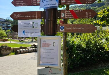
▶️ Suivre la balise "C3"
🥾 Prévoir de bonnes chaussures de marche.
🌲🌳
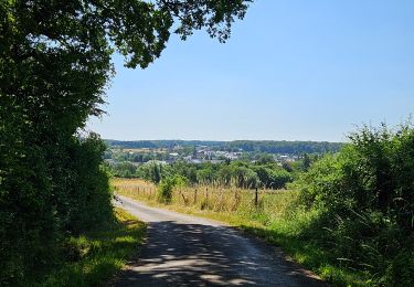
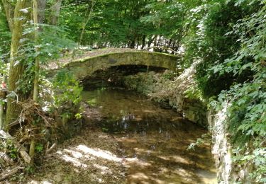
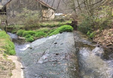
Vous descendrez vers la vallée de Dielchen, longerez un ruisseau. Vous aurez une agréable vue sur Wolper.
Vous traverserez une forêt parsemée de petits marécages.
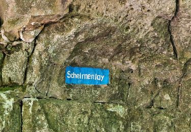
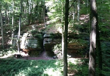
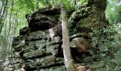
Vous longerez le ruisseau Steebach et vous verrez de magnifiques formations rocheuses pour enfin arriver au Kuelscheier, une grotte étroite et spectaculaire de 100m de long! 😍
⚠️ Les chemins peuvent être très glissants !!
Possibilités de pique-niquer. 🥪🍴
Chiens autorisés en laisse. 🐩🐶🐕
Convient pour les enfants (plaine de jeux au départ). 👱👱‍♂️
Ne convient pas pour les poussettes et personnes à mobilité réduite. 👨‍🦽👩‍🦽👶
N'hésitez pas à aller faire un tour sur notre site internet et nos réseaux :
www.aufildenosdecouvertes.com
www.facebook.com/aufildenosdecouvertes
https://www.instagram.com/au_fil_de_nos_decouvertes

Profil altimétrique

Photos

Localisation

Pays :
Luxembourg
Région :
Inconnu
Département/Province :
Canton Echternach
Commune :
Consdorf
Localité :
Unknown
Départ:(UTM)
308554 ; 5516686 (32U) N.

Commentaires

Veuillez vous connecter pour laisser un commentaire ou une note


Magnifique ! Merci


Randonnées à proximité

Randonnée Marche Waldbillig - Haller - Sentier_local_-_W4 - Photo
Marche
GUIDE
mumu.larandonneuse

Marche

Moyen
(1)
Waldbillig, Inconnu, Canton Echternach, Luxembourg
6,2 km | 7,8 km-effort
1h 45min
Oui
Randonnée Marche Consdorf - Consdorf - C6 - Photo
Marche
GUIDE
mumu.larandonneuse

Marche

Moyen
(1)
Consdorf, Inconnu, Canton Echternach, Luxembourg
5,8 km | 7,3 km-effort
1h 39min
Oui
Randonnée Marche Consdorf - Consdorf - C2 (Müllerthal) - Photo
Marche
GUIDE
mumu.larandonneuse

Marche

Facile
(1)
Consdorf, Inconnu, Canton Echternach, Luxembourg
4,2 km | 5,5 km-effort
1h 15min
Oui
Randonnée Marche Consdorf - Consdorf - Mullerthal - Photo
Marche
GUIDE
mumu.larandonneuse

Marche

Moyen
(2)
Consdorf, Inconnu, Canton Echternach, Luxembourg
9 km | 12,3 km-effort
2h 48min
Oui
Randonnée Marche Waldbillig - Mullerthal randonnée magnifique - Photo
Marche
GUIDE
Alfredy

Marche

Difficile
(4)
Waldbillig, Inconnu, Canton Echternach, Luxembourg
9,3 km | 12,9 km-effort
4h 21min
Oui
Randonnée Marche Consdorf - Consdorf - Sentier local C1  - Photo
Marche
GUIDE
mumu.larandonneuse

Marche

Facile
(1)
Consdorf, Inconnu, Canton Echternach, Luxembourg
1,9 km | 2,5 km-effort
34min
Oui
Randonnée Marche Waldbillig - MÜLLERTHAL (Cascades) - Photo
Marche
GerardBouche

Marche

Moyen
(1)
Waldbillig, Inconnu, Canton Echternach, Luxembourg
10,2 km | 13,7 km-effort
3h 1min
Oui
Randonnée Autre activité Waldbillig - Luxemburg: Mullerthal - Consdorf - Mullerthal - Photo
Autre activité
mikeryckmans

Autre activité

Très difficile
(3)
Waldbillig, Inconnu, Canton Echternach, Luxembourg
11,5 km | 15,4 km-effort
4h 10min
Oui
Randonnée Marche Waldbillig - Müllerthal W7 par la déviation  - Photo
Marche
GUIDE
mumu.larandonneuse

Marche

Moyen
Waldbillig, Inconnu, Canton Echternach, Luxembourg
11,3 km | 14,8 km-effort
2h 46min
Oui


Fermer
Mes abonnements