


10,3 km | 16,7 km-effort

Utilisateur


Application GPS de randonnée GRATUITE
 SityTrail
IGN / Instituts géographiques
SityTrail World
Le monde est à vous
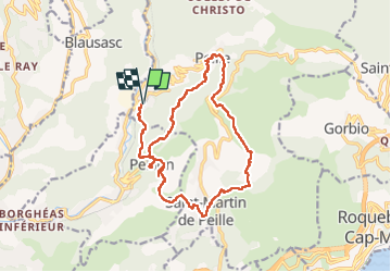
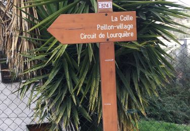
Randonnée Marche de 21 km à découvrir à Provence-Alpes-Côte d'Azur, Alpes-Maritimes, Peille. Cette randonnée est proposée par ETMU5496.
Au départ de la gare de Peille (La grave sur Peille).
Longue randonnée sans difficultés particulières
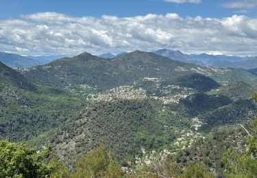
Les villages de Peillon et Peille sont très jolis à visiter
IBP = 95


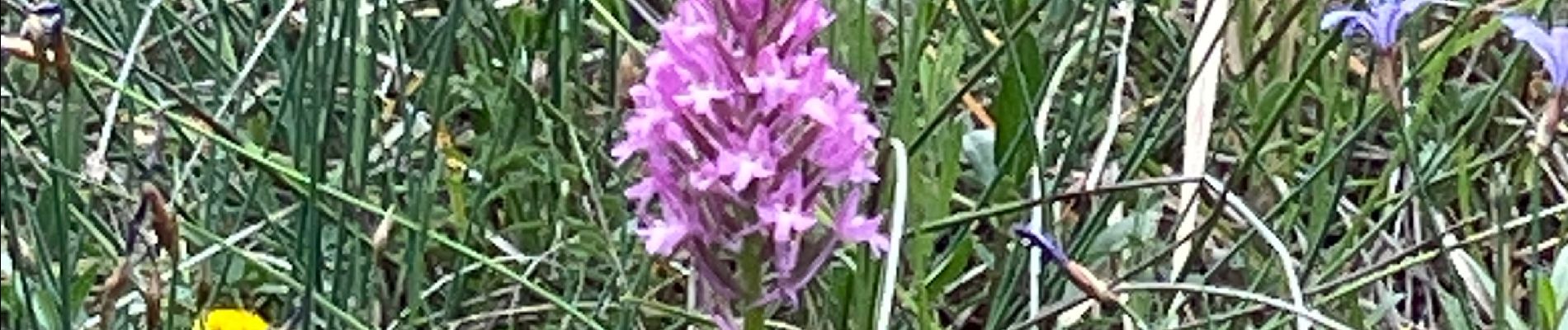
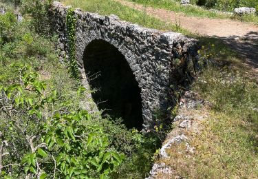
27 photos au total. Cliquez sur une photo pour les afficher toutes dans la galerie.

Marche

Marche

A pied

Marche

sport
Marche

Marche
Marche

Marche