


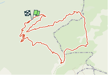

13,7 km | 23 km-effort

Utilisateur


Application GPS de randonnée GRATUITE
 SityTrail
IGN / Instituts géographiques
SityTrail World
Le monde est à vous
Randonnée Marche de 14,6 km à découvrir à Auvergne-Rhône-Alpes, Drôme, Romeyer. Cette randonnée est proposée par TOULAUDIN.
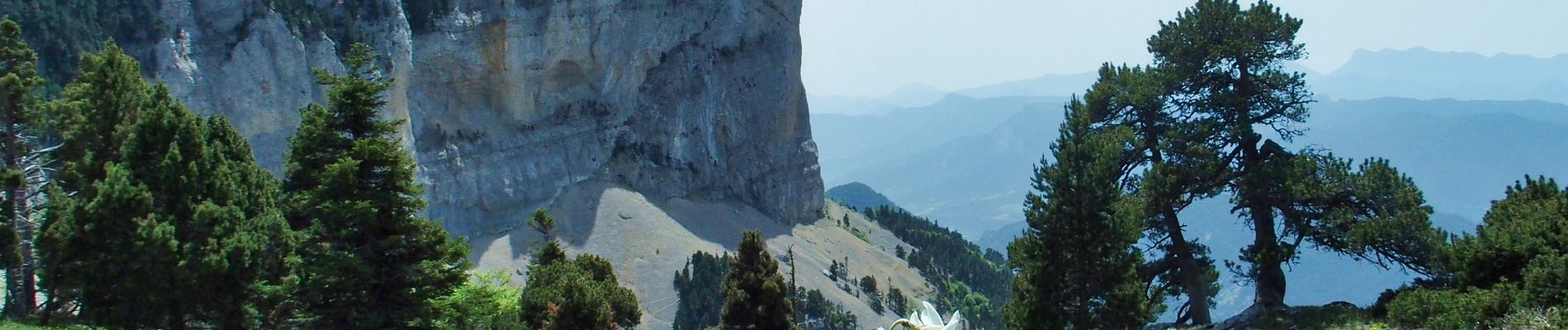
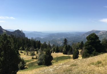
effectuée avec club ASptt Valence, montée très progressive ,parties en balcon avec très belles vues.ensuite beau parcours sur les hauts plateaux. attention à la descente dans le pierrier des Bachassons.très belle rando


Marche

Marche

Marche

Marche
Marche

Marche

Marche
Marche

Raquettes à neige