


4,6 km | 6,6 km-effort


Utilisateur


Application GPS de randonnée GRATUITE
 SityTrail
IGN / Instituts géographiques
SityTrail World
Le monde est à vous
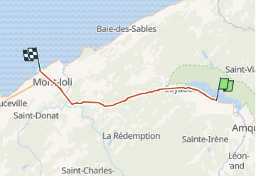
Randonnée Marche de 57 km à découvrir à Québec, La Matapédia, Val-Brillant. Cette randonnée est proposée par Chloé Durand.
déplacements effectués surtout en stop et les premiers kilomètres à pied.
Premier déplacement : Val-Brillant > Saint Flavie.
deuxième déplacement et après avoir marché et attendu 30min : Saint-Flavie > Rimouski cathédrale.
Nous sommes partis à 10h47 et arrivés à Rimouski à 15h02.
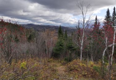
Marche
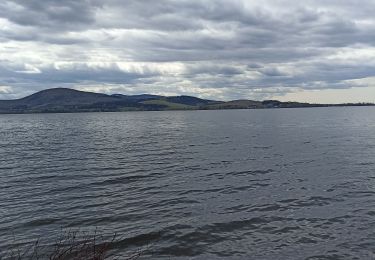
Marche
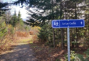
Marche

Marche
Marche