


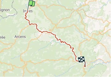

62 km | 83 km-effort


Utilisateur


Application GPS de randonnée GRATUITE
 SityTrail
IGN / Instituts géographiques
SityTrail World
Le monde est à vous
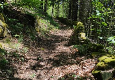
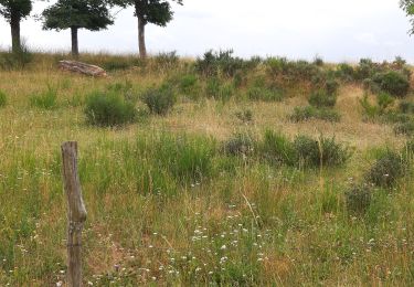
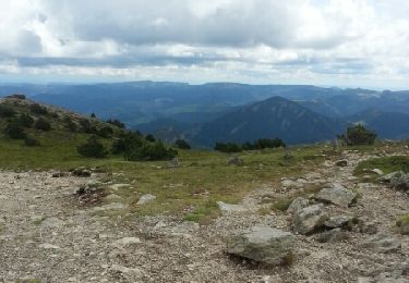
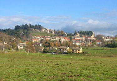
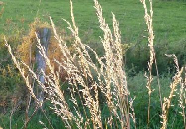
Randonnée Cyclotourisme de 44 km à découvrir à Auvergne-Rhône-Alpes, Ardèche, Saint-Julien-d'Intres. Cette randonnée est proposée par s0c7.
V.T.C.
V.T.T.

Marche
Marche
Marche
Vélo de route
Marche
Marche
Marche