


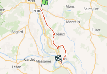

26 km | 30 km-effort


Utilisateur


Application GPS de randonnée GRATUITE
 SityTrail
IGN / Instituts géographiques
SityTrail World
Le monde est à vous
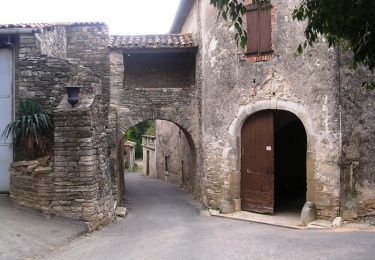
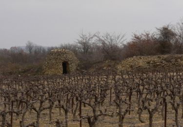
Randonnée Marche de 15,8 km à découvrir à Occitanie, Gard, Alès. Cette randonnée est proposée par jab31.
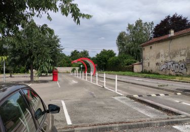
arrivée au pont de Ners; départ de la Batéjade
V.T.C.
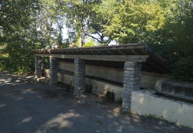
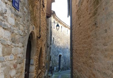
Marche
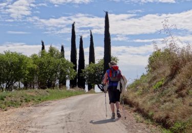
Marche
V.T.T.
Marche
Marche

Marche
V.T.T.