


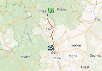

21 km | 36 km-effort


Utilisateur


Application GPS de randonnée GRATUITE
 SityTrail
IGN / Instituts géographiques
SityTrail World
Le monde est à vous
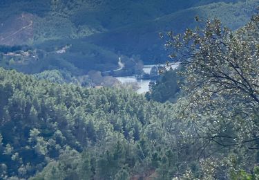
Randonnée Marche de 22 km à découvrir à Occitanie, Gard, Portes. Cette randonnée est proposée par jab31.
traversée de la ville (Batejade)
Marche
Marche
Marche
Marche
Marche

Marche