


13,1 km | 22 km-effort

Utilisateur


Application GPS de randonnée GRATUITE
 SityTrail
IGN / Instituts géographiques
SityTrail World
Le monde est à vous
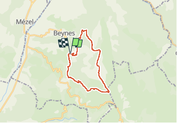
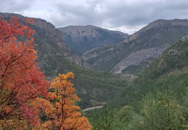
Randonnée Marche de 12,9 km à découvrir à Provence-Alpes-Côte d'Azur, Alpes-de-Haute-Provence, Beynes. Cette randonnée est proposée par chris13370.
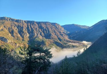
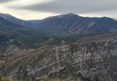
Départ parking bord de route à environ 1 km avant le village de Beynes. Panorama époustouflant tout au long de la randonnée et sur les crêtes à 360°.
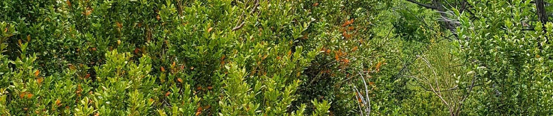
Très agréable montée à l ombre, bien appréciée par temps chaud.
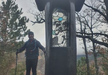
 - Photo 1")
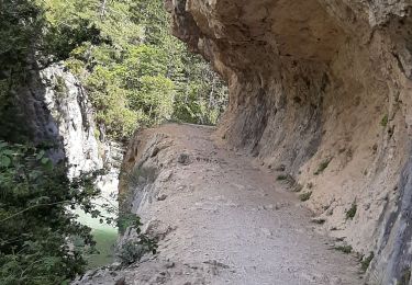
 - Photo 2")
 - Photo 3")
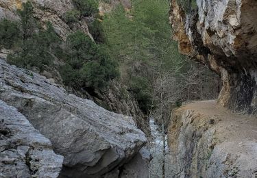
 - Photo 4")
 - Photo 5")
 - Photo 6")
 - Photo 7")
 - Photo 8")
 - Photo 9")
 - Photo 10")
Marche
Marche

Marche
Marche
Marche
Marche
Marche
Marche
Marche